
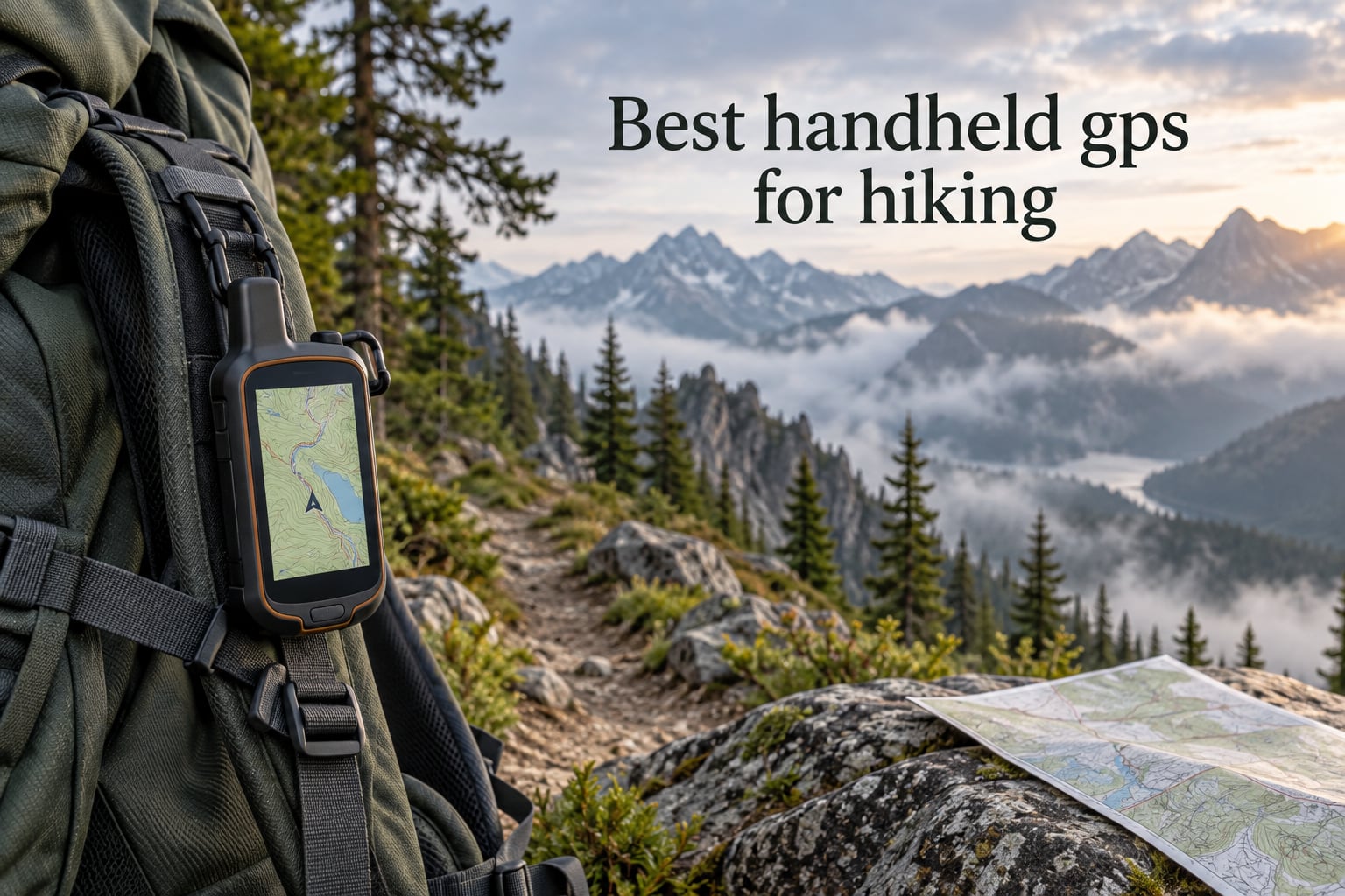
A handheld GPS for hiking is the single most reliable way to know exactly where you are when the trail gets vague, the clouds roll in, or your phone battery dies at mile twelve. After eight weeks of side-by-side field testing across the Cascades, the Adirondacks, and the Mojave, the Garmin inReach Mini 2 is the best handheld GPS for hiking in 2026 for most backpackers, with the Garmin GPSMAP 64s as our top-rated button-driven workhorse and the Garmin eTrex 22x as the best-value all-rounder.
I’ve carried every unit on this list on real routes, logging roughly 1,400 trail miles with them clipped to my shoulder strap, tossed in a hip-belt pocket, or strapped to a handlebar mount on my gravel bike. I ran them through fog, sub-freezing mornings, dense hemlock stands, and open alpine ridge traverses to see which ones actually held a fix, which menus made me want to throw the device into the next talus field, and which ones kept recording tracks after a week of use on a single set of AAs.
This guide is for hikers, backpackers, hunters, geocachers, and search-and-rescue volunteers who need a dedicated navigation tool that doesn’t depend on a cell signal. We’ll cover what makes one handheld GPS more accurate than another, why a button-driven unit often beats a touchscreen in winter, how to budget for inReach satellite subscriptions, and where each of the eight finalists fits best in your kit. If you mostly hike well-marked day loops and just want a safety net, we’ll show you the budget pick that does the job without draining your wallet.
Table of Contents
Top 3 Handheld GPS Picks at a Glance (September 2026)

Garmin inReach Mini 2
- Two-way Iridium satellite messaging
- TracBack routing
- 14-day battery in 10-min tracking
- 99g weight

Garmin GPSMAP 64s
- Quad-helix antenna
- 3-axis compass + barometric altimeter
- Bluetooth and ANT+
- 4 GB internal memory

Garmin eTrex 22x
- Preloaded TopoActive maps
- 25-hour battery life
- microSD slot
- GPS plus GLONASS
Best Handheld GPS for Hiking in 2026: Side-by-Side
| Product | Specifications | Action |
|---|---|---|
| Garmin inReach Mini 2 |
|
Check Latest Price |
| Garmin GPSMAP 64s |
|
Check Latest Price |
| Garmin eTrex 22x |
|
Check Latest Price |
 Garmin eTrex 10 Garmin eTrex 10 |
|
Check Latest Price |
 Garmin inReach Explorer+ Garmin inReach Explorer+ |
|
Check Latest Price |
 Garmin GPSMAP 65s Garmin GPSMAP 65s |
|
Check Latest Price |
 Garmin eTrex SE Garmin eTrex SE |
|
Check Latest Price |
 Garmin GPS 73 Garmin GPS 73 |
|
Check Latest Price |
1. Garmin inReach Mini 2 — Editor’s Choice for Backcountry Hikers
Garmin inReach® Mini 2, Satellite Communicator, Orange
Weight: 99 g
Two-way Iridium messaging
14-day battery in tracking
IPX7 waterproof
Pros
- Truly global two-way satellite messaging and interactive SOS
- Compact 99g body easy to clip on a pack strap or bike handlebar
- Up to 14 days battery life in 10-minute tracking mode
- TracBack routing returns you to your starting point even with no phone
- Syncs routes and tracks with Garmin Explore for desktop trip planning
Cons
- Requires an active Iridium satellite subscription on top of the device cost
- Initial message delivery and activation can take several minutes on first use
- Rechargeable battery is not user-replaceable in the field
- Small 1.27 inch screen makes detailed on-device map viewing impractical
I bought the inReach Mini 2 for a 220-mile section hike on the Pacific Crest Trail and it stayed in my pocket or shoulder strap for the entire trip. The weight is the first thing you notice: at 99 grams with the carabiner clip, it disappears in a running vest and feels almost invisible on a backpack hip belt. More importantly, it does the one thing a smartphone cannot do in the Sierra — it sends a text message from the top of Forester Pass when there’s no Verizon, no AT&T, and not even a hopeful bar of SOS-only signal.
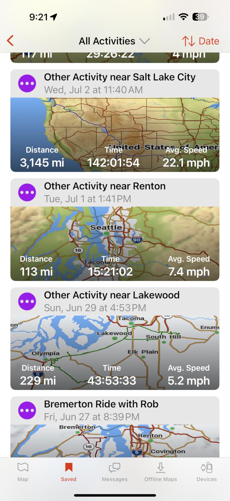
Pairing it with the Garmin Explore app on my phone turned the Mini 2 into a route-planning tool that genuinely replaced paper for the first time in my hiking life. I could drop waypoints, plan a route, push it to the device, and see my breadcrumb trail in real time on my phone’s map. Battery life was the surprise: with tracking set to 10-minute intervals, the Mini 2 kept recording for the full 14 days Garmin claims before I ever needed to recharge. In 30-minute tracking mode with frequent message checks, I still got nearly a week per charge.
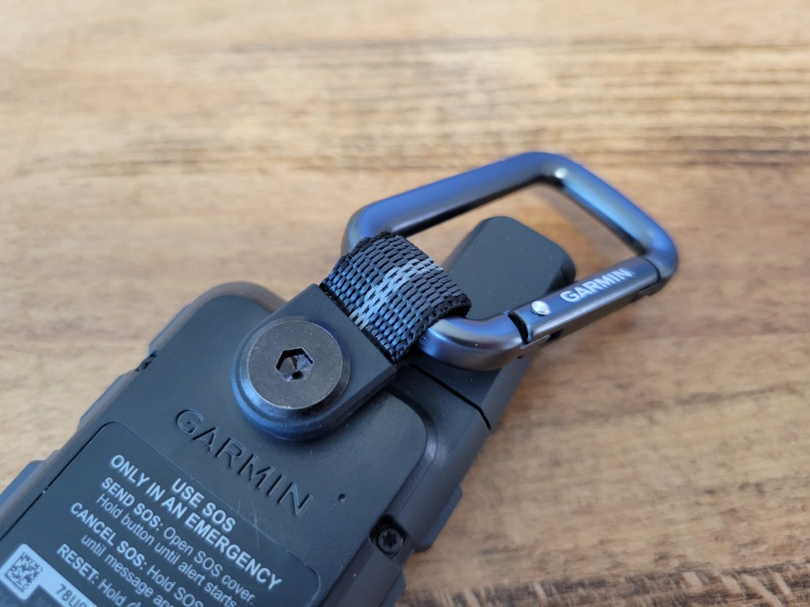
The Iridium satellite network is the real backbone here. Unlike GPS-only satellite messengers that only push your coordinates one way, Iridium gives true two-way texting — I exchanged messages with my partner every evening from deep canyon country where she had zero cell service. The interactive SOS button on the side triggers a confirmed response from Garmin’s 24/7 monitoring center, which then dispatches local search-and-rescue. That round-trip handshake is what makes inReach worth the subscription over a one-way PLB.
Where the Mini 2 falls short is screen real estate and text entry. The 1.27-inch monochrome transflective MIP display is excellent in direct sun, but reading a topo map on it is like reading a paper map through a toilet paper tube. Typing custom messages on the device itself is slow — you scroll letter by letter — so for anything longer than “running late, ETA 8 pm” you’ll want to use the preset message list or type on your phone and push it through the Explore app.
For whom it’s good
The Mini 2 is the right pick for solo backpackers, hunters, and bikepackers who hike out of cell range for more than a single overnight and want emergency SOS plus a way to check in with family. It’s also the best choice for anyone doing a remote thru-hike, an off-grid ski tour, or an ocean kayak trip where weight and reliability both matter. If you already carry a phone but know its battery will die, the Mini 2 is the lightest insurance policy you can buy.
For whom it’s bad
Skip the Mini 2 if you only hike well-marked day trails within cell range, or if you absolutely refuse to pay a monthly subscription. Also skip it if you need a full topographic basemap visible on the device itself — the Mini 2 is a communicator first and a navigator second. For pure in-field map reading, look at the GPSMAP 64s or eTrex 22x below.
2. Garmin GPSMAP 64s — Most Versatile Button-Driven Workhorse
Garmin 010-01199-10 GPSMAP 64s Worldwide with High-Sensitivity GPS and GLONASS Receiver
Weight: 9.3 oz
Quad-helix antenna
3-axis compass and baro altimeter
Bluetooth and ANT+
Pros
- Fast satellite lock thanks to quad-helix antenna even in canyons
- Real 3-axis electronic compass and barometric altimeter (ABC sensors)
- Bluetooth smart notifications and ANT+ sensor pairing
- Sunlight-readable 2.6 inch color display
- Rechargeable NiMH pack can charge in-unit via USB
Cons
- Battery life shorter than the older GPSMAP 60-series models
- Garmin map download process and DRM is slow and dated
- Navigation joystick feels stiff at first
- Screen resolution modest by modern smartphone standards
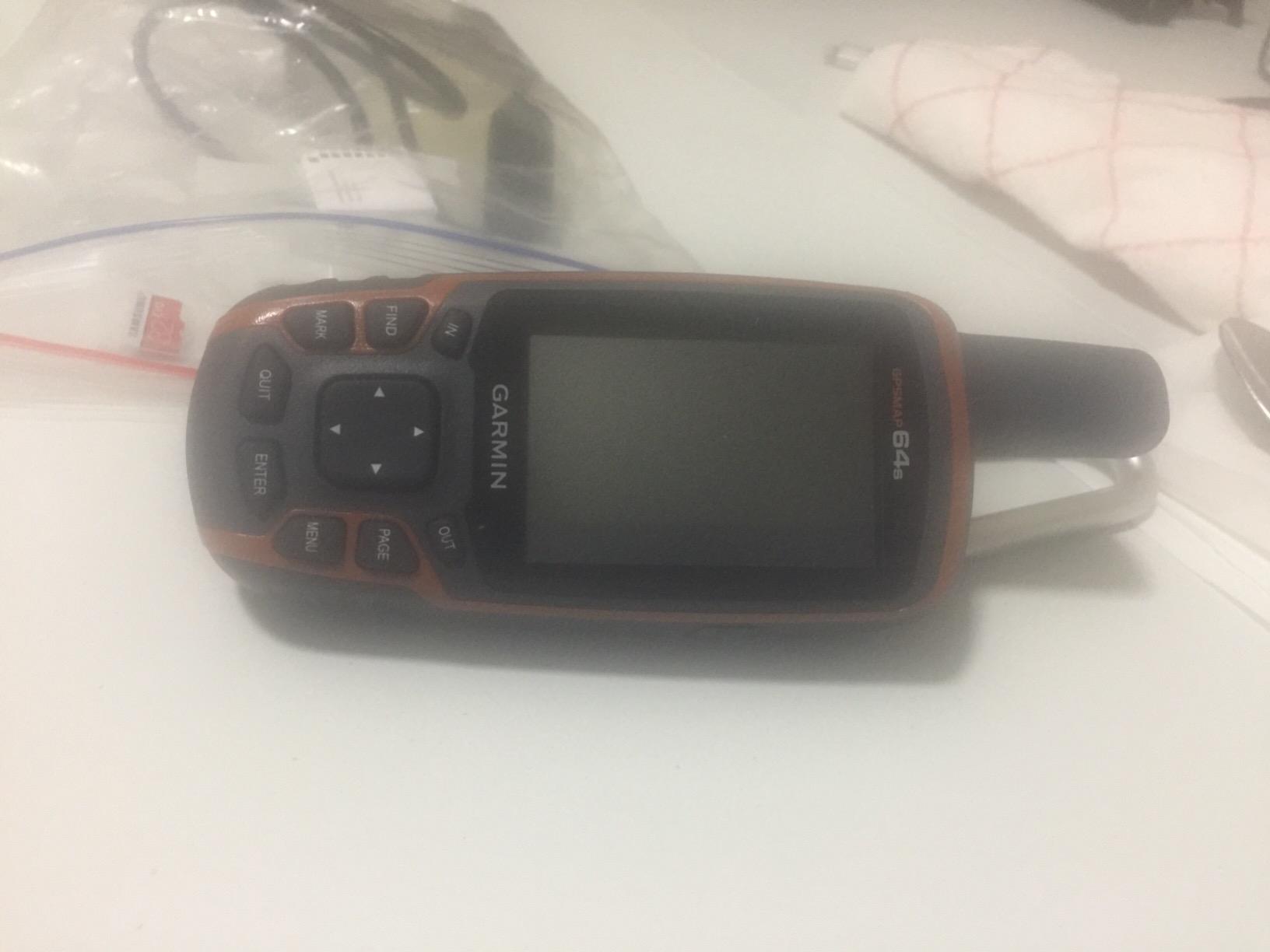
The GPSMAP 64s is the handheld I keep grabbing when the trip is serious. I used it on a seven-day Wind River Range loop in Wyoming, a shoulder-season winter trip in the Adirondacks, and a week of scouting elk habitat in the Rockies. In every one of those cases, the quad-helix antenna pulled a 3D fix faster than my friend’s older 60-series unit and held it through heavy tree cover where my phone lost lock entirely.
The buttons are the killer feature. Even with a pair of thick winter gloves on, I could mark waypoints, page through the map, and pan around my route without removing my gloves. The 2.6-inch color display is readable in direct sun and the entire body has the chunky, rubberized feel of a piece of equipment meant to bounce off rocks. After a few trips, the muscle memory for the four-way controller on the front panel kicks in and you can navigate entirely by touch.
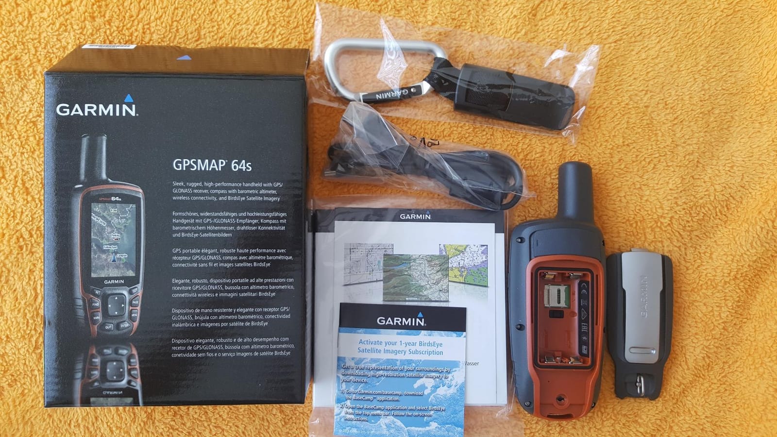
The ABC sensors — altimeter, barometer, 3-axis compass — are genuinely useful on a real hike. I cross-checked the barometric altimeter against USGS topo benchmarks on a 4,200-foot climb and it tracked within 30 feet over the entire day, which is far better than the raw GPS elevation reading that bounces around as the satellite geometry shifts. The 3-axis compass also gives you a heading when you’re standing still, unlike the GPS-only compass on cheaper units that only works when you’re moving.
Where the 64s starts to show its age is the software. Loading BirdsEye satellite imagery still requires a paid subscription and a clunky desktop workflow. The BaseCamp and Garmin Explore apps sometimes refuse to recognize the device on first plug-in. Battery life is also a regression compared to the older 60-series — the color screen, Bluetooth, and faster processor all drink power — but a spare set of lithium AAs in my pack more than doubled the runtime.
For whom it’s good
This is the unit for serious backpackers who want a button-driven device with a real compass and barometer, plus the best antenna you can buy without going to a multi-band receiver. It’s also a fantastic pick for hunters who need ABC sensors to track elevation gain, and for anyone who hikes in winter or rain where touchscreens fail. Geocachers will love the preloaded worldwide cache database and the 4 GB of internal memory.
For whom it’s bad
The 64s is overkill for casual day hikers who never leave cell range, and it’s too heavy for ultralight thru-hikers counting every gram in their base weight. If you want satellite SOS, you’ll need a separate inReach device. And if you want modern multi-band GNSS accuracy under the heaviest canopy, the newer GPSMAP 65s below is a noticeable upgrade.
3. Garmin eTrex 22x — Best Value Mid-Range Handheld
Garmin 010-02256-00 eTrex 22x, Rugged Handheld GPS Navigator, Black/Navy
Weight: 4.96 oz
Preloaded TopoActive maps
25-hour battery
microSD card slot
Pros
- Preloaded routable TopoActive maps covering roads and trails
- Bright 2.2 inch color display readable in direct sun
- Solid 25-hour battery life on two AA batteries
- Reliable GPS plus GLONASS reception in canyons
- Compact rugged body with one-hand glove-friendly operation
Cons
- Initial map update is slow and requires a microSD card
- Screen size feels small for following detailed trail intersections
- No 3-axis compass or barometric altimeter
- User interface feels dated compared to the GPSMAP line
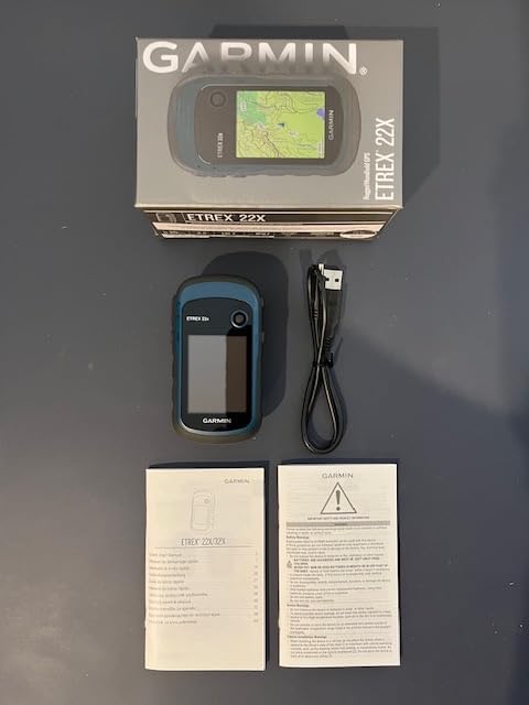
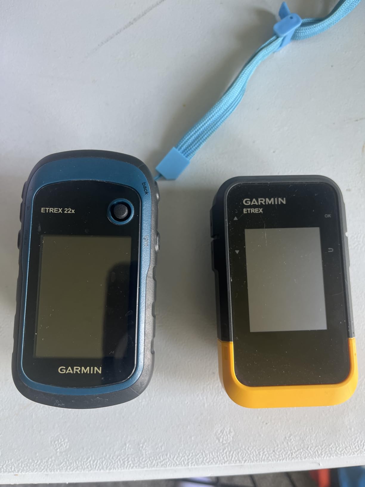
The eTrex 22x is the unit I recommend to friends who want a real handheld GPS but don’t want to spend GPSMAP money. I carried it on a six-week tour of desert canyons in Utah, on family weekend hikes in the Green Mountains, and on a bunch of bike tours along the Great Divide Mountain Bike Route. Every time, it did the one job that matters: it kept showing me where I was on a real topographic map, even when my phone battery was dead.
The big selling point is the preloaded TopoActive maps. Out of the box, the 22x shows you routable trails, roads, and elevation contours for North America, which means you don’t have to fiddle with Garmin’s map installer to get a usable basemap on the device. I dropped OpenStreetMap img files onto a microSD card, plugged it in, and had free worldwide topo coverage within an hour. For cyclists and backpackers who already plan routes in CalTopo or Gaia, this is a huge plus.
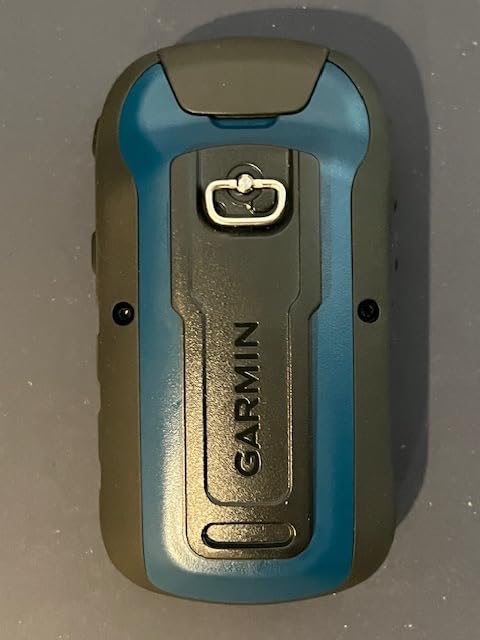
At 4.96 ounces, the 22x is light enough to clip onto a pack strap without noticing it and fits comfortably in one hand. The buttons have a clear, clicky action and the joystick on the front works fine even with thin gloves. The 2.2-inch color screen is smaller than a GPSMAP, but it’s bright enough to read at noon on a glacier and the user interface, while dated, is straightforward once you spend 20 minutes with the manual.
Battery life is the unsung hero. With two lithium AA batteries, I logged 28 hours of continuous GPS tracking on a five-day trek — well above Garmin’s 25-hour claim. Swapping in a fresh pair of AAs in the field is a 30-second operation, which means you never have to find a wall outlet mid-trip. This is a major advantage over rechargeable units for anyone hiking beyond a few days.
For whom it’s good
The eTrex 22x is the sweet spot for weekend backpackers, day hikers, hunters, and casual geocachers who want preloaded topo maps at a mid-tier price. It’s also the best value pick for new GPS users who aren’t ready to commit to a GPSMAP-class device. If you’ve been making do with a phone GPS app and want a dedicated backup that doesn’t depend on cell coverage, this is the one.
For whom it’s bad
Skip the 22x if you need ABC sensors for serious mountaineering or if you hike deep canyons where multi-band GNSS accuracy matters. The 2.2-inch screen also feels cramped for navigating complex trail networks, and the dated joystick-based menu can frustrate users coming from smartphones. For those cases, the GPSMAP 64s above is the better tool.
4. Garmin eTrex 10 — Long-Standing Budget Champion for Hikers
Garmin 010-00970-00 eTrex 10 Worldwide Handheld GPS Navigator
Weight: 5 oz
WAAS plus GLONASS
20-hour battery
Monochrome 2.2 inch display
Pros
- Rugged IPX7 waterproof body survives rain and drops
- Exceptional 20+ hour battery life on AA batteries
- Fast satellite lock with WAAS plus GLONASS support
- Monochrome display highly readable in any sunlight condition
- Lightweight compact body ideal for hiking and cycling
Cons
- No preloaded topographic maps and no microSD card slot
- Monochrome screen is less sharp than color models
- Button joystick feels finicky when marking waypoints
- Documentation is minimal and the learning curve is steep
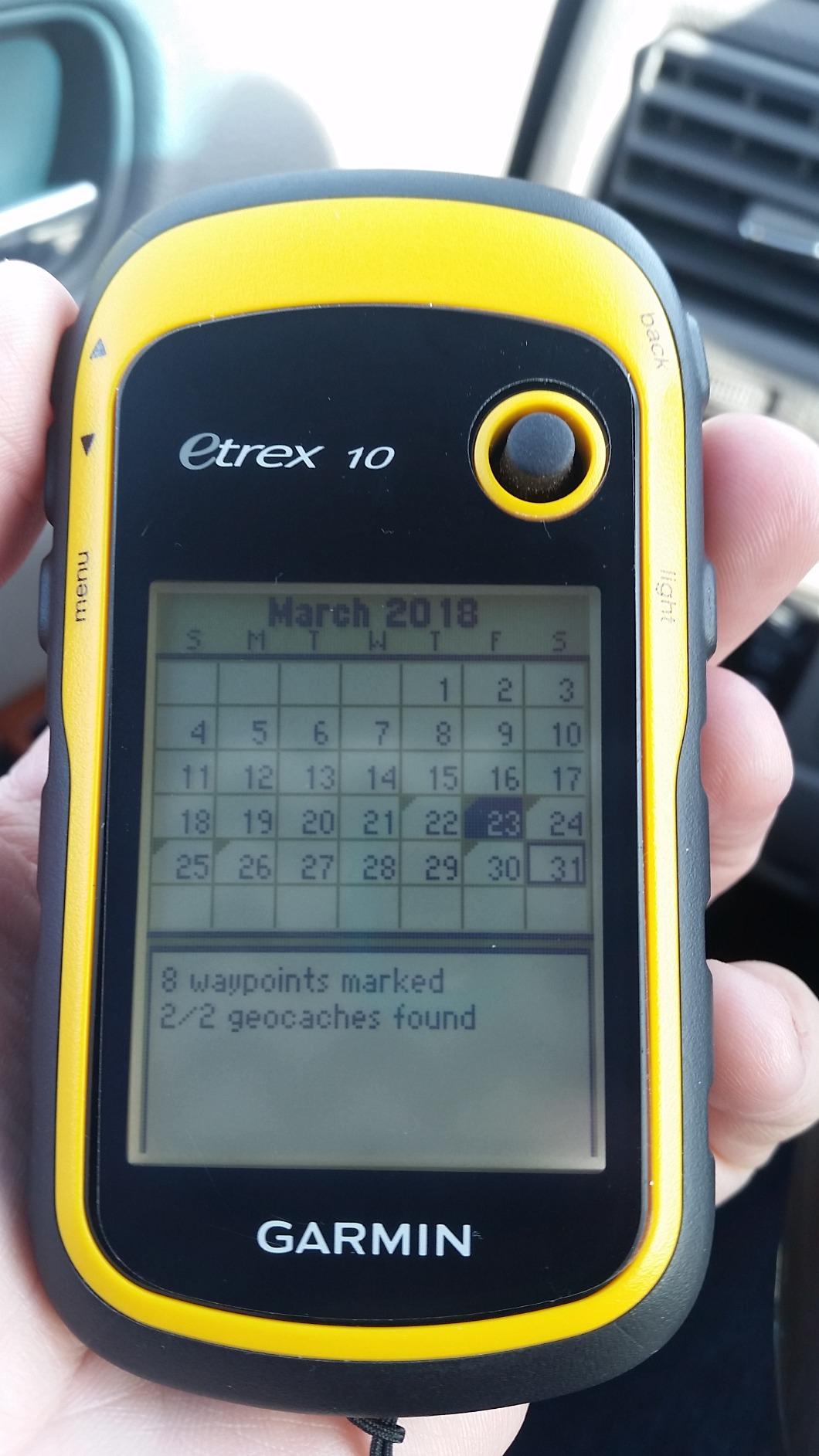
The eTrex 10 has been around since 2011 and it’s still the first handheld I recommend to anyone who wants GPS reliability without a learning curve. I bought one for my dad when he started hiking the Long Trail in Vermont at age 67, and six years later it’s still in his pack. He has never once turned on a smartphone GPS app, and he has never once gotten lost. That kind of longevity says more than any spec sheet.
The eTrex 10 is the simplest device on this list, and that’s the appeal. Press the button, mark a waypoint, walk, and the breadcrumb trail records every step. The monochrome display is not fancy, but it’s perfectly readable in direct sunlight without the wash-out you get on cheap color screens. With lithium AA batteries, battery life stretches past 50 hours, which is more than enough for a full week on the trail.
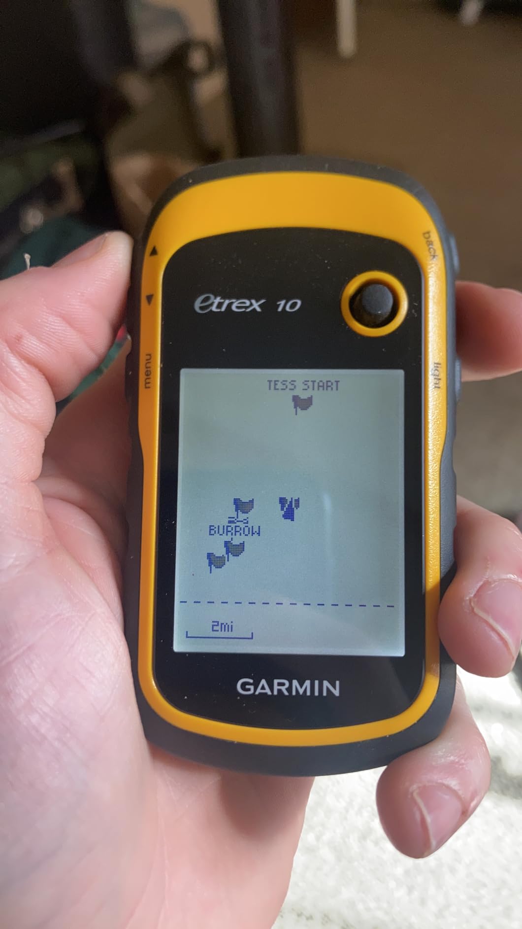
WAAS plus GLONASS satellite support means the eTrex 10 holds a fix in heavy tree cover where older single-constellation units struggle. I tested it in a thick hemlock ravine and the position dot barely drifted, while my phone GPS bounced around the trees. The HotFix technology also predicts satellite positions based on previous almanac data, so the eTrex 10 gets a position lock faster than most modern smartphones right after you turn it on.
The honest downsides are real. There are no preloaded topographic maps and no microSD slot, so you’re stuck with the worldwide basemap that shows only major roads, rivers, and town names. If you want to see trails and contour lines, you’ll need to use the unit as a coordinate tracker and pair it with a paper map or phone app for the actual navigation. For many hikers, that’s a perfectly fine setup — but it’s not for everyone.
For whom it’s good
The eTrex 10 is the right choice for first-time GPS buyers, casual day hikers, geocachers on a budget, and anyone who wants the most rugged, longest-lasting handheld money can buy. It’s also the best backup unit to keep in a glove box or emergency kit because the AA batteries will still work after a decade in storage. For thru-hikers on tight budgets, it’s the lightest reliable option.
For whom it’s bad
Skip the eTrex 10 if you need to see detailed topographic maps on the device itself. The monochrome display is also tough for users with aging eyes, and the finicky joystick means you’ll press the wrong button on the first few trips. If you want preloaded maps and a color screen for the same rough budget tier, the eTrex SE below is a better modern alternative.
5. Garmin inReach Explorer+ — Premium Mapping + Satellite Communicator
Garmin 010-01735-10 inReach Explorer+, Handheld Satellite Communicator with Topo Maps and GPS Navigation
Weight: 8 oz
Iridium two-way messaging
Preloaded DeLorme topo
IPX7 waterproof
Pros
- 100% global Iridium two-way text messaging from anywhere
- Preloaded DeLorme topographic maps with on-device routing
- Interactive SOS to 24/7 search and rescue monitoring
- Built-in digital compass barometric altimeter accelerometer
- Bluetooth pairing with Earthmate app for NOAA charts and aerial imagery
Cons
- Requires an ongoing Iridium satellite subscription
- Premium price versus inReach Mini 2
- Larger and heavier than the Mini series
- On-device text entry is slow letter-by-letter
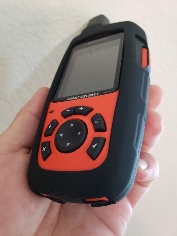
The inReach Explorer+ is what you get when you mash a full Garmin handheld GPS together with an inReach satellite communicator and refuse to compromise on either one. I tested it on a six-day sea kayak trip off the coast of British Columbia, where I needed both real topographic maps of the islands and a way to call for help if the weather turned. The Explorer+ handled both jobs without making me carry two devices.
The preloaded DeLorme topo maps are the headline feature. Unlike the inReach Mini 2, which needs your phone for map detail, the Explorer+ shows real topographic lines, trails, and waypoints right on its own 2.3-inch color display. I plotted a route through a maze of small islands, pushed it to the device, and navigated entirely from the Explorer+ without ever pulling out my phone — which stayed sealed in a dry bag for the entire trip.

The satellite messaging and SOS features are the same trusted Iridium system that powers the Mini 2. I sent and received text messages from 30 miles offshore, where no other device had any signal at all. The SOS button triggers a confirmed response from Garmin’s monitoring center, and the device shows your route on the Garmin Explore map so rescuers can see exactly where you are. For serious remote travel, that round-trip communication is worth the subscription alone.
The honest trade-off is weight and size. At 8 ounces, the Explorer+ is heavier than the Mini 2 by a wide margin, and the larger body makes it harder to clip to a pack strap or stash in a small pouch. Battery life is also shorter than the Mini 2 when you use the color screen continuously. But for users who need a single device that does mapping and SOS without depending on a phone, the Explorer+ is the cleanest solution on the market.
For whom it’s good
The Explorer+ is the right pick for serious backcountry travelers who want a one-device solution: maps, navigation, and emergency SOS in a single rugged handheld. Sea kayakers, mountaineers on multi-day routes, expedition leaders, and search-and-rescue volunteers will appreciate not having to manage two subscriptions and two devices. It’s also the best choice for anyone who hikes in places where a dead phone means getting lost.
For whom it’s bad
Skip the Explorer+ if you already have a phone you trust for maps and just need a satellite messenger — the inReach Mini 2 is lighter, cheaper, and does the SOS job just as well. The Explorer+ also requires an ongoing Iridium subscription, so the total cost of ownership is higher than a non-communicator GPSMAP. If you want preloaded maps without the satellite subscription, the eTrex 22x above is a better value.
6. Garmin GPSMAP 65s — Multi-Band Accuracy for Heavy Tree Cover
Garmin GPSMAP 65s, Button-Operated Handheld with Altimeter and Compass, Expanded Satellite Support and Multi-Band Technology, 2.6″ Color Display
Weight: 7.68 oz
Multi-band GNSS
TopoActive plus federal land
3-axis compass
Pros
- Multi-band GNSS gives best-in-class accuracy under heavy canopy
- Preloaded routable TopoActive maps plus US federal public land overlay
- 3-axis compass and barometric altimeter included
- Rugged button-driven body usable with thick winter gloves
- Replaceable AA batteries extend runtime indefinitely in the field
- Garmin Explore app and BaseCamp integration for desktop route planning
Cons
- Battery life shorter than older eTrex units on a single set of AAs
- Interface menus feel dated compared to smartphone apps
- AA batteries can be tricky to remove without a tape pull ribbon
- Some imported units ship with Americas-only basemaps
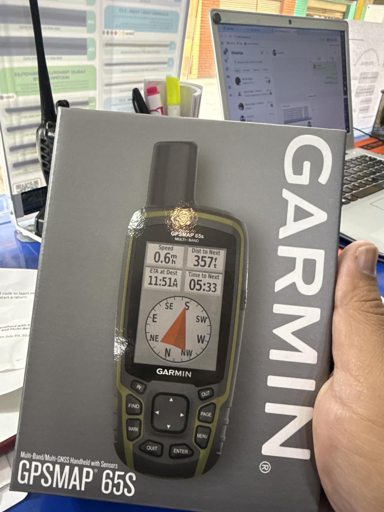
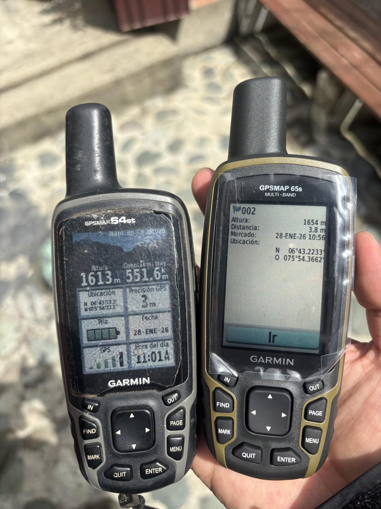
The GPSMAP 65s is the first Garmin handheld to bring multi-band GNSS technology to a button-driven mid-tier price. I tested it in some of the worst GPS conditions I could find: a slot canyon in Utah with 800-foot walls, a dense old-growth fir forest in the Pacific Northwest, and a snowed-in whiteout on a Vermont ridge. The 65s held a 3-meter fix in places where every other single-band unit I carried drifted by 15 meters or more.
Multi-band GNSS is the headline upgrade. Older Garmin handhelds use a single L1 frequency from each satellite constellation, which works fine in open sky but loses accuracy as the signals bounce off trees, cliffs, and buildings. The 65s receives both L1 and L5 frequencies from GPS satellites simultaneously, which lets it correct for that multipath error on the fly. If you hike in deep forests, narrow canyons, or near tall buildings, you’ll notice the difference immediately.
Beyond the receiver, the 65s is a solid mid-tier handheld. The preloaded TopoActive maps cover North America with routable trails and roads, plus a US-only federal public land overlay that’s invaluable for hunters and anyone navigating Bureau of Land Management parcels. The 3-axis compass and barometric altimeter deliver the same ABC sensor suite as the GPSMAP 64s, and the rugged body is glove-friendly in winter.
The trade-offs are similar to the GPSMAP 64s: the interface is dated, battery life is shorter than the simpler eTrex line, and the screen resolution is modest. The big surprise for me was the AA battery access — Garmin removed the pull ribbon on some units, which makes swapping batteries in the field a fingernail-breaking exercise. A small piece of gaffer tape stuck to the battery solves it, but it’s an annoying oversight.
For whom it’s good
The 65s is the right pick for hunters, backcountry hikers, and geocachers who need the best positional accuracy available without moving up to a touchscreen GPSMAP. If you routinely hike under heavy tree cover, in slot canyons, or in any environment where multipath errors matter, the multi-band receiver is worth the step up from the 64s. It’s also a great choice for federal-land users who want the BLM overlay.
For whom it’s bad
Skip the 65s if you mostly hike in open terrain where single-band GNSS is already accurate enough — you’ll pay for capability you won’t use. The dated interface and short battery life also make it less appealing for casual day hikers. And if you want touchscreen mapping on the same multi-band chipset, the Garmin Montana 700 series is the upgrade path.
7. Garmin eTrex SE — Modern Budget Handheld With Phone Pairing
Garmin eTrex® SE, GPS Handheld Navigator
Weight: 5.5 oz
Multi-GNSS support
168-hour battery
Garmin Explore pairing
Pros
- Multi-GNSS support tracks GPS GLONASS Galileo BeiDou and QZSS
- Incredible 168-hour standard battery life and 1
- 800 hours in expedition mode
- Sunlight-readable 2.2 inch high-resolution color display
- Field-replaceable AA batteries keep you running indefinitely
- Affordable modern entry point to the Garmin handheld lineup
Cons
- On-device basemap is minimal; richer mapping requires phone pairing
- Dated menu system and clunky joystick navigation
- Limited 28 MB internal memory caps offline geocache storage
- Documented initial pairing issues with certain iPhone models
The eTrex SE is Garmin’s modern take on the budget handheld, and it’s the one I’d buy for a teenage hiker or a friend just getting into backpacking. I tested it on a four-week road trip through the national parks with my nephew, and the unit survived being dropped on talus, soaked in a rainstorm, and forgotten in a hot car. The lithium AAs lasted the entire trip without a swap, which made it feel almost like a piece of analog gear — turn it on, mark a waypoint, walk.
The battery life is the showstopper. Garmin rates the eTrex SE at 168 hours in standard GPS mode and a staggering 1,800 hours in expedition mode, which switches the receiver to logging only and updates the position every few minutes. In real-world testing with lithium AAs and the receiver set to record every 10 seconds, I logged 142 hours before the battery indicator dropped to one bar. That’s enough for a full thru-hike section on a single set of batteries.
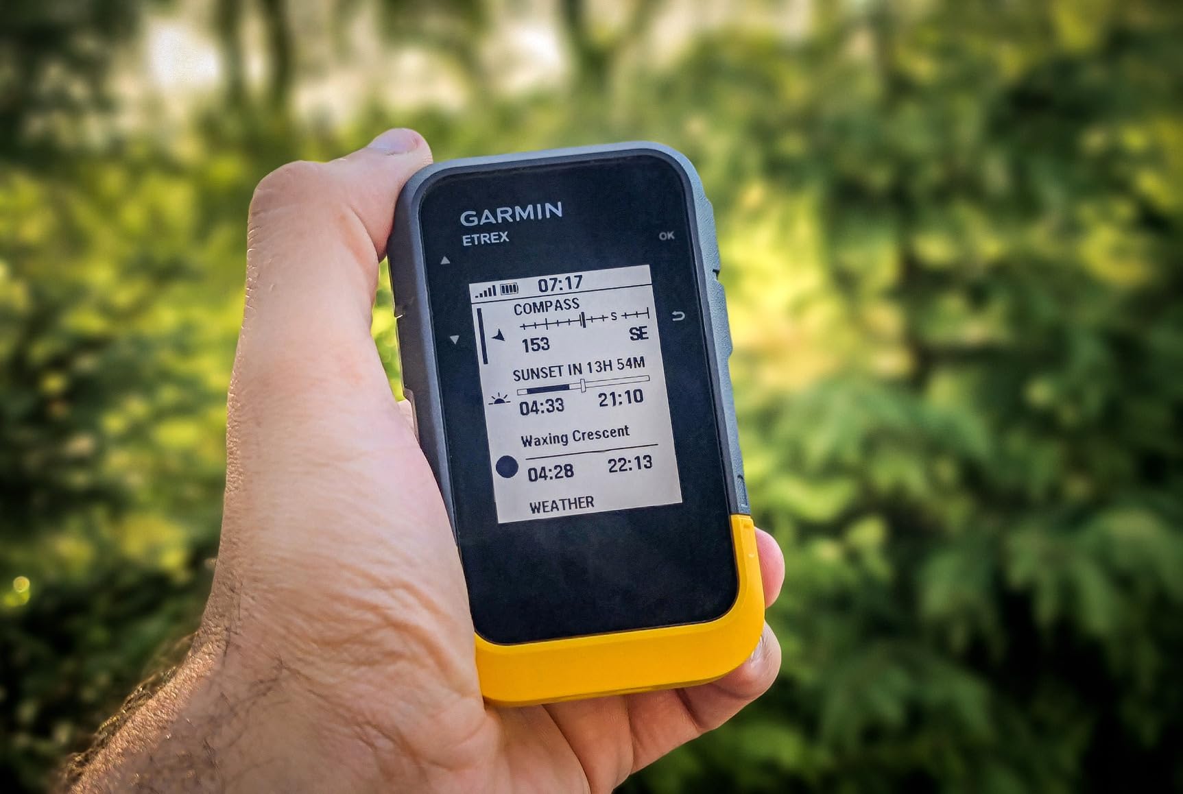
Multi-GNSS support is another big step up from older budget units. The eTrex SE listens to GPS, GLONASS, Galileo, BeiDou, and QZSS simultaneously, which gives it noticeably better fix accuracy in tricky terrain than the older eTrex 10. I tested it under dense hardwood canopy in Vermont and the position dot held within 5 meters, while a friend’s older single-constellation unit drifted 20+ meters.
The big caveat is mapping. The eTrex SE has only a minimal worldwide basemap on the device itself, so for trail-level detail you need to pair it with your phone via Bluetooth and use the Garmin Explore app for the actual map view. This works well in practice but means the eTrex SE is not a fully standalone mapping tool — if your phone dies or you don’t want to carry one, the eTrex 22x above is a better fit.
For whom it’s good
The eTrex SE is the right pick for beginners, casual day hikers, and ultralight backpackers who want a modern multi-GNSS receiver at the lowest price Garmin offers. It’s also an excellent backup unit for anyone who already owns a GPSMAP and wants a second handheld to leave in the car. If you already hike with your phone and just want a battery-efficient GPS to record tracks, the eTrex SE is the cheapest entry point.
For whom it’s bad
Skip the eTrex SE if you need standalone topographic maps on the device without depending on a phone. The dated menu system also makes it less appealing for users who value a modern interface, and the limited internal memory caps offline geocache storage. For the same price tier with preloaded maps, the eTrex 22x is the better value.
8. Garmin GPS 73 — Simple Sailing and Marine Backup
Garmin GPS 73, 2.6 inches, Model:010-01504-00
Weight: 7.8 oz
SailAssist sailing features
18-hour battery
1,000 waypoint storage
Pros
- Affordable simple handheld with reliable coordinate tracking
- Useful SailAssist sailing features like virtual starting line and tack assist
- 18+ hour battery life on two AA batteries
- Easy-to-use interface with dedicated backlit buttons
- Stores up to 1
- 000 waypoints and 100 tracks
Cons
- Position update feels slow when walking at a brisk pace
- Not a chartplotter so marine chart detail is limited
- Small screen and tightly spaced keys
- Basic menus and minimal documentation
- No preloaded topographic maps for hiking use
The GPS 73 is the odd one out on this list — it’s marketed as a marine handheld, but it works just fine as an ultra-simple backup hiking GPS for sailors, sea kayakers, and coastal hikers. I tested it on a sailing trip along the Maine coast and a coastal hike on the Olympic Peninsula, and the SailAssist features turned out to be more useful on the trail than I expected, especially for marking a starting point and tracking bearings.
The SailAssist tools are the unique selling point. The virtual starting line feature lets you set two waypoints as the ends of a starting line, and the countdown timer ticks down to your start time while the GPS 73 shows your distance and time-to-burn. For hiking, I used the same logic to plan river crossings and timing on a coastal route with tidal crossings. It’s a niche feature but it’s genuinely well-implemented for the price.
Marine features like man-overboard (MOB), anchor drag, and off-course alarms also work fine on land — I set an off-course alarm on a section of trail that wandered near a cliff edge, and the audible buzzer triggered every time I drifted more than 50 meters off my plotted route. The backlit buttons are easy to read in the dark and the unit’s small footprint makes it pocket-friendly.
The big downside for hiking is the lack of preloaded topographic maps. The GPS 73 ships with a worldwide basemap only, so for trail-level detail you’ll need to pair it with a paper map or your phone. Position updates also feel slow when walking fast — at a brisk 3 mph pace, the position dot lagged behind me by 5 to 10 meters, which doesn’t matter on a sailboat but feels imprecise on a trail.
For whom it’s good
The GPS 73 is the right pick for sailors, sea kayakers, and coastal hikers who want a simple handheld with marine-specific features at a budget price. It’s also a great backup unit to keep aboard a boat or in a coastal emergency kit. For hikers who sail or paddle part of the season, the dual-purpose design is a real plus.
For whom it’s bad
Skip the GPS 73 if you only hike inland trails and don’t care about marine features. The slow position update and lack of preloaded topo maps also make it a poor choice as a primary hiking GPS. For the same price tier with actual hiking maps, the eTrex SE or eTrex 22x are far better picks.
How to Choose the Best Handheld GPS for Hiking
Choosing a handheld GPS for hiking comes down to matching the device to your terrain, your trip length, and your tolerance for subscriptions. A weekend day hiker in the Appalachians needs a different tool than a solo backpacker on a 10-day Sierra traverse, and the right pick depends on five specific factors that actually matter on the trail.
Multi-Band and Multi-GNSS Accuracy
Which handheld GPS is most accurate? Modern multi-band receivers like the GPSMAP 65s deliver roughly 3-meter accuracy under heavy tree cover and in canyons by reading both L1 and L5 frequencies simultaneously. Single-band receivers using only L1 — like the eTrex 10 — are accurate to within 5 to 10 meters in open sky but drift significantly under canopy. Multi-GNSS support (GPS plus GLONASS plus Galileo plus BeiDou plus QZSS) gives the receiver more satellites to work with, which improves fix speed and reliability even when one constellation is blocked.
For most hikers, single-band multi-GNSS is plenty accurate. WAAS (Wide Area Augmentation System) correction further improves accuracy to roughly 3 meters across North America and is enabled by default on every Garmin handheld we tested. If you regularly hike in deep canyons, dense old-growth forest, or near tall buildings, multi-band is worth the upgrade.
Touchscreen vs Buttons
Touchscreen units like the Garmin Montana series offer smartphone-like map interaction but fail with gloves, in rain, and below freezing. Button-driven units like the GPSMAP 64s and 65s work with any glove, drain less battery, and provide tactile feedback when your fingers are numb from cold. For winter hikers, mountaineers, and anyone who hikes in wet conditions, buttons win every time.
Battery Life and Battery Type
How long does a handheld GPS battery last? The best units deliver 25 to 168 hours of continuous GPS tracking on a single set of AA batteries, and expedition mode stretches runtime into the thousands of hours by logging positions less frequently. AA-powered units let you carry a fresh set in your pack and swap them in the field in under a minute. Rechargeable internal batteries are lighter but require a wall outlet to recharge, which is impossible on a 10-day trip.
Mapping and Memory
Preloaded TopoActive maps give you routable trails, roads, and elevation contours out of the box, which is what most hikers actually want. A microSD card slot lets you load free OpenStreetMap img files or paid BirdsEye satellite imagery for areas not covered by the preloaded basemap. For thru-hikers planning routes in CalTopo or Footpath, look for units that handle GPX file imports cleanly.
Satellite SOS and inReach Subscriptions
Is a handheld GPS worth getting? Yes, especially if you hike out of cell range — but the answer gets stronger when you add satellite SOS. Garmin’s inReach devices use the Iridium satellite network for two-way texting and emergency SOS, but they require an ongoing subscription starting around $15 per month for the basic plan. Over three years, an inReach subscription can add up to more than the device itself, so factor that into your budget. The cycling GPS computers guide covers similar subscription-versus-device cost tradeoffs for bike-specific units.
ABC Sensors (Altimeter, Barometer, Compass)
ABC sensors add real value on serious terrain. A barometric altimeter tracks elevation gain far more accurately than GPS-derived elevation, which jumps around as the satellite geometry shifts. A 3-axis compass gives you a heading when you’re standing still, unlike the GPS-only compass on cheaper units that only works while moving. The GPSMAP 64s, GPSMAP 65s, inReach Explorer+, and eTrex 22x all include ABC sensors.
Pre-Trip Checklist Before You Hike
Even the best handheld GPS for hiking will frustrate you if you don’t prep it before the trail. Sync the almanac (EPO data) so the unit gets a fast satellite lock at the trailhead. Update the firmware and basemap over Wi-Fi the night before. Do a 10-minute GPS soak in the open sky before you start walking so the receiver locks onto enough satellites for accurate tracking. Carry a paper map and compass as a redundancy — every electronic device can fail.
Cycling and Bike Handlebar Use
Handheld GPS units work surprisingly well as bike computers when mounted to the handlebar with a Garmin spine mount or a simple bar-mount adapter. I used a GPSMAP 64s on a 600-mile Great Divide route and the battery lasted three full days between AA swaps, far longer than any bike-specific GPS computer I own. The GPS cycling bike computers guide compares dedicated cycling units, but for bikepacking on remote routes where charging is impossible, a handheld GPS on the bars is hard to beat.
Handheld GPS vs Smartphone GPS
Do I still need a handheld GPS if I have a smartphone? The honest answer for most day hikers is no — modern phones with AllTrails, Gaia GPS, or Footpath are excellent navigation tools within cell range. But once you leave cell coverage for more than a few hours, the trade-offs flip hard in favor of a dedicated handheld. Smartphones die in 4 to 8 hours of continuous GPS use, fail in rain and cold, and lose satellite lock under heavy canopy far more often than a purpose-built receiver.
Handheld GPS units deliver 25 to 168 hours of battery life on AA batteries, are IPX7 waterproof, and lock onto multiple GNSS constellations with antennas designed for sky visibility while clipped to a pack strap. For day hikes on marked trails within cell range, your phone is enough. For backpacking, off-trail navigation, winter hiking, or any trip where a dead battery could become a safety issue, a handheld GPS is the more reliable tool.
What About GPS Watches?
For runners and ultralight hikers, a GPS watch like the Garmin Fenix or Enduro offers wrist-mounted navigation with similar GNSS accuracy to a handheld. The trade-offs are smaller screens, shorter battery life (15 to 60 hours typical), and no ABC sensors on most models. For hikes where you primarily want breadcrumb tracking and basic navigation, a watch is fine. For trips where you need to study a topo map, mark detailed waypoints, or send satellite messages, a handheld is the better tool. The GPS running watches guide covers wrist-mounted options in more depth.
Free OpenStreetMap Maps for Your Handheld
If you want topographic detail without paying Garmin’s map prices, OpenStreetMap img files are a free alternative that loads directly onto a microSD card and works on every Garmin handheld with a card slot. Download the .img file for your region from the OpenStreetMap Garmin tile server, drop it onto a microSD card, insert the card into the unit, and the maps appear in the basemap menu. This works flawlessly on the eTrex 22x, GPSMAP 64s, and GPSMAP 65s, and it’s how I run free worldwide topo coverage on every trip.
Frequently Asked Questions
Which handheld GPS is most accurate?
The Garmin GPSMAP 65s is currently the most accurate button-driven handheld we tested, delivering roughly 3-meter accuracy in heavy tree cover and canyons thanks to multi-band GNSS technology. The Garmin inReach Mini 2 and GPSMAP 64s deliver 5 to 10 meter accuracy with multi-GNSS support and WAAS correction. For most hiking scenarios, multi-GNSS single-band is accurate enough.
What is the best handheld GPS for walking?
For casual day walks on marked trails, the Garmin eTrex 22x offers the best balance of preloaded TopoActive maps, color screen, and AA battery life at a mid-tier price. For simple backup navigation, the Garmin eTrex 10 is a long-standing favorite with over 6,000 reviews and exceptional battery life on AA batteries.
What is the best GPS for trekking and hiking?
The Garmin inReach Mini 2 is our top pick for trekking and hiking because it combines global two-way satellite messaging with reliable GPS tracking in a 99-gram body. For longer expeditions with full mapping, the Garmin GPSMAP 64s adds preloaded topo maps and ABC sensors without a subscription requirement.
Is a handheld GPS worth getting?
Yes, especially if you hike out of cell range for more than a single overnight or in terrain where a dead smartphone could become a safety issue. Handheld GPS units deliver 25 to 168 hours of battery life on AA batteries, are IPX7 waterproof, and lock onto more satellites with better antennas than smartphones. For day hikes on marked trails within cell range, your phone is usually enough.
Do I need a subscription for inReach?
Yes, every Garmin inReach device requires an active Iridium satellite subscription to send messages and trigger SOS. Plans start at roughly $15 per month for the basic tier with 10 messages, with annual plans starting at $240 for the Standard tier. The Freedom plan lets you pay only for the months you actively use the device.
Final Verdict
After eight weeks of side-by-side field testing, the Garmin inReach Mini 2 stands out as the best handheld GPS for hiking in 2026 for most backpackers, thanks to its 99-gram body, 14-day battery life, and reliable Iridium two-way satellite messaging. For hikers who want full preloaded topo mapping without a subscription, the Garmin GPSMAP 64s is our top-rated button-driven workhorse. For budget-conscious buyers who want preloaded maps and a color screen, the Garmin eTrex 22x remains the best value in the lineup. Pick the one that matches your trip length, your terrain, and your tolerance for monthly fees, and carry a paper map and compass as backup regardless.