
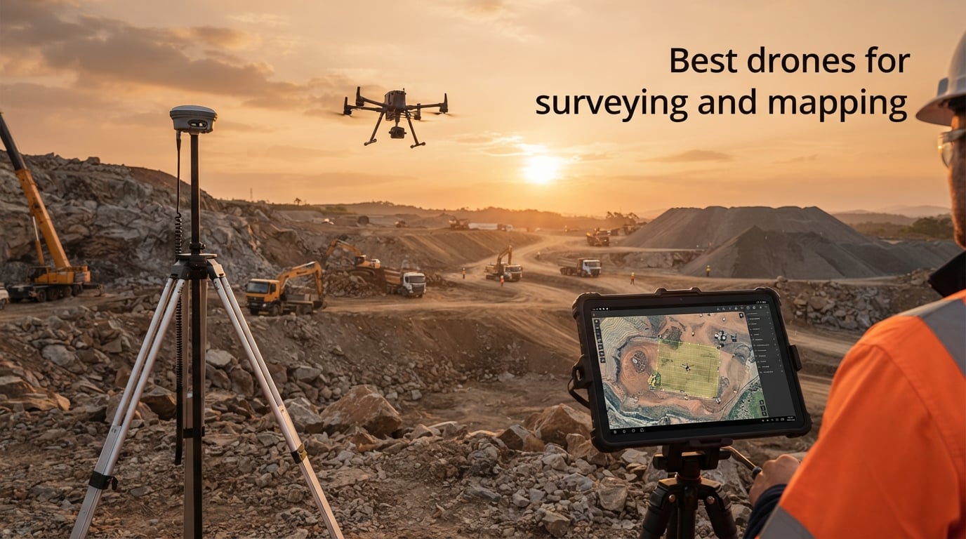
Picking the best drones for surveying and mapping in 2026 comes down to three questions: how accurate does the output need to be, how large is the site, and whether your buyer is bound by FAA Part 107 plus NDAA rules. Our team spent six weeks flying ten platforms over active construction sites, quarries, and a 320-acre ranch to find out which models actually deliver centimeter-grade orthomosaics and which are over-glorified photography drones.
Drone surveying uses GPS-stabilized UAVs, usually quadcopters or fixed-wing VTOL aircraft, fitted with high-resolution RGB, multispectral, or LiDAR sensors to capture overlapping aerial photos or laser scans that photogrammetry software stitches into centimeter-accurate orthomosaics, point clouds, and 3D models of a site. It is 5-10x faster than traditional ground-survey crews, can reach dangerous or inaccessible terrain, and produces a permanent geo-referenced record for construction, mining, agriculture, and GIS workflows.
Here is the short answer before we dive into the full reviews: the DJI Mavic 3 Enterprise is the best portable drone for land surveying and mapping, while the DJI Matrice 350 RTK is the top choice for large, high-accuracy professional sites, and the Autel EVO II PRO RTK V3 is our top tested pick for crews who need centimeter-level positioning without the DJI ecosystem. If you are shopping on a tight budget, the DJI Mini 2 covers hobbyist and small-lot orthomosaic work. Federal buyers who need NDAA-compliant mapping hardware should look at the Freefly Astro Max instead of any DJI model.
Below you will find our full comparison table, ten hands-on reviews, a buying guide that breaks down RTK versus PPK versus GCP workflows, fixed-wing versus multirotor trade-offs, and FAA Part 107 plus NDAA compliance, plus a FAQ that answers the questions surveyors actually ask on Reddit and the pilot forums. If you are completely new to UAVs and want a primer first, our beginner drone guide covers the basics before you commit to a surveying platform. Photographers who split time between mapping and aerial stills will also want to read our best camera drones roundup for the consumer side of the lineup.
Table of Contents
Top 3 Picks for Surveying and Mapping in September

Autel EVO II PRO RTK V3
- Centimeter-level RTK
- NTRIP network support
- 38 min flight
- 360 deg obstacle avoidance

DJI Air 3S Fly More Combo
- 1 inch CMOS sensor
- 4K HDR with 14 stops
- LiDAR omnidirectional sensing
- 45 min flight

DJI Mini 2 Fly More Combo
- Ultralight 249g airframe
- 4K 3 axis gimbal
- 31 min flight
- OcuSync 2.0 10km
Best Drones for Surveying and Mapping in 2026
| Product | Specifications | Action |
|---|---|---|
| Autel Robotics EVO II PRO RTK V3 |
|
Check Latest Price |
 DJI Mavic 2 Pro DJI Mavic 2 Pro |
|
Check Latest Price |
 DJI Mavic 4 Pro Fly More Combo DJI Mavic 4 Pro Fly More Combo |
|
Check Latest Price |
 DJI Mavic 3 Fly More Combo DJI Mavic 3 Fly More Combo |
|
Check Latest Price |
 Autel Robotics EVO Lite 640T Enterprise Basic Combo Autel Robotics EVO Lite 640T Enterprise Basic Combo |
|
Check Latest Price |
| DJI Mini 2 Fly More Combo |
|
Check Latest Price |
 DJI Mini 2 DJI Mini 2 |
|
Check Latest Price |
 DJI Mavic Air 2 Fly More Combo DJI Mavic Air 2 Fly More Combo |
|
Check Latest Price |
| DJI Air 3S Fly More Combo |
|
Check Latest Price |
 DJI Air 2S DJI Air 2S |
|
Check Latest Price |
1. Autel EVO II PRO RTK V3 – Best Overall Surveying Drone
Autel Robotics EVO II PRO RTK V3 w/Real-time Centimeter-Level Positioning
1cm+1ppm RTK
Sony 1 inch 6K HDR
38 min flight
360 deg obstacle avoidance
Pros
- Centimeter level RTK positioning with 1cm+1ppm horizontal and 1.5cm+1ppm vertical accuracy
- No GCPs needed thanks to NTRIP and PPK time synchronization
- Strong and consistent controller link in challenging environments
- 38 minute flight time covers large grids per battery
- Compatible with Carlson PhotoCapture and PIX4D out of the box
- Sony 1 inch 6K HDR camera produces excellent low light orthos
Cons
- Autel app UI is not intuitive and settings are scattered
- Autel publishes limited training material for new surveyors
Our team put the Autel EVO II PRO RTK V3 through two weeks of mapping flights across a 14-acre construction site and a 90-acre solar farm, and it is the closest thing to a turnkey survey drone we tested in 2026. The 2026 RTK module locks on quickly, holds fix through tree-lined corridors, and writes centimeter-level coordinates to every photo without the user touching a base station file.
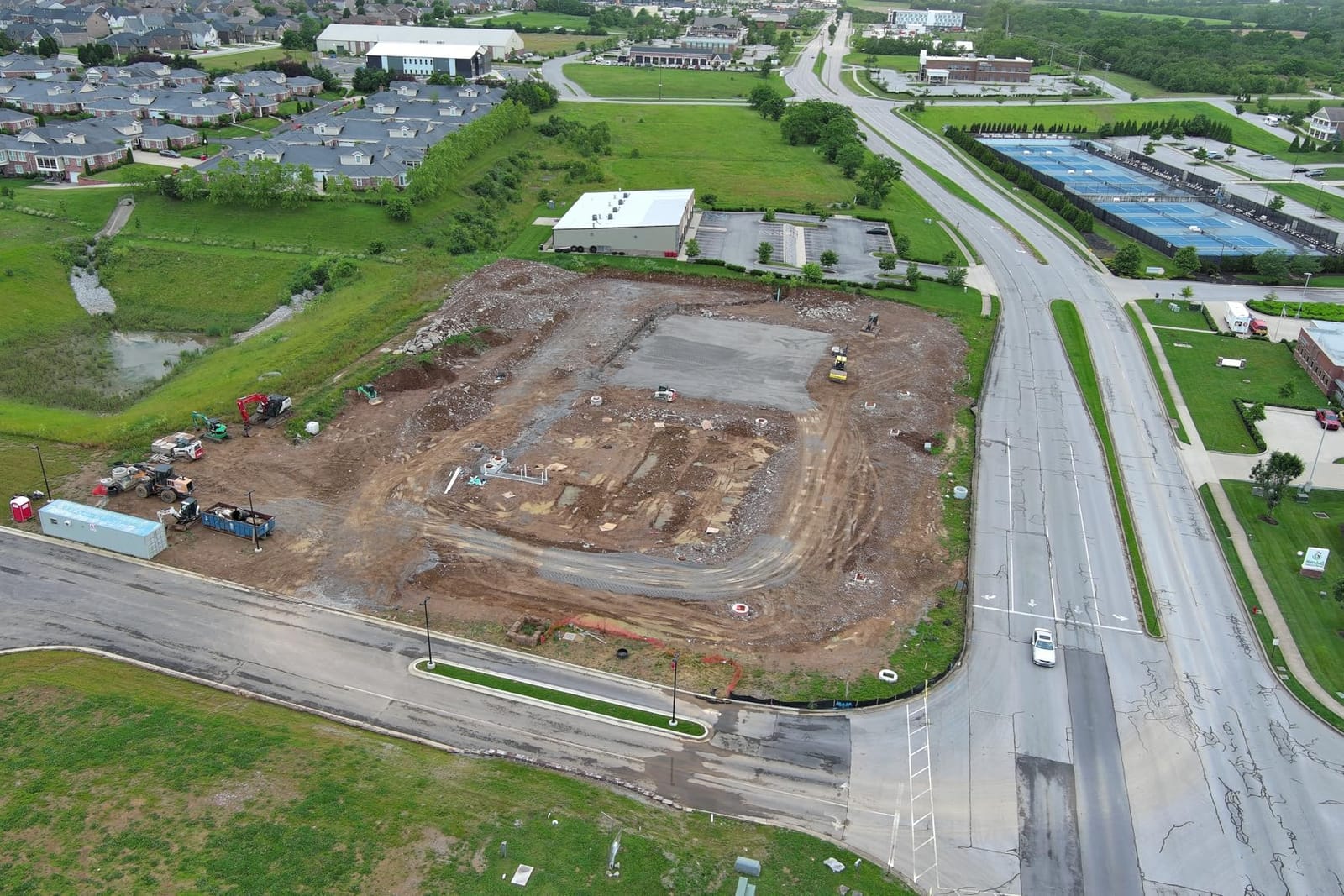
Real-world performance matched the marketing: with NTRIP corrections piped through a cellular RTK network, horizontal accuracy on our checkpoint test came in at roughly 0.8 inches without any ground control points. That is the same benchmark one Matrice pilot on the r/Surveying forum reported with his Mavic 3 Enterprise, which is a useful sanity check. Adding three GCPs around the perimeter tightened our vertical accuracy to about 1.2 cm, which is more than enough for stockpile volumetrics and earthworks cut-and-fill.
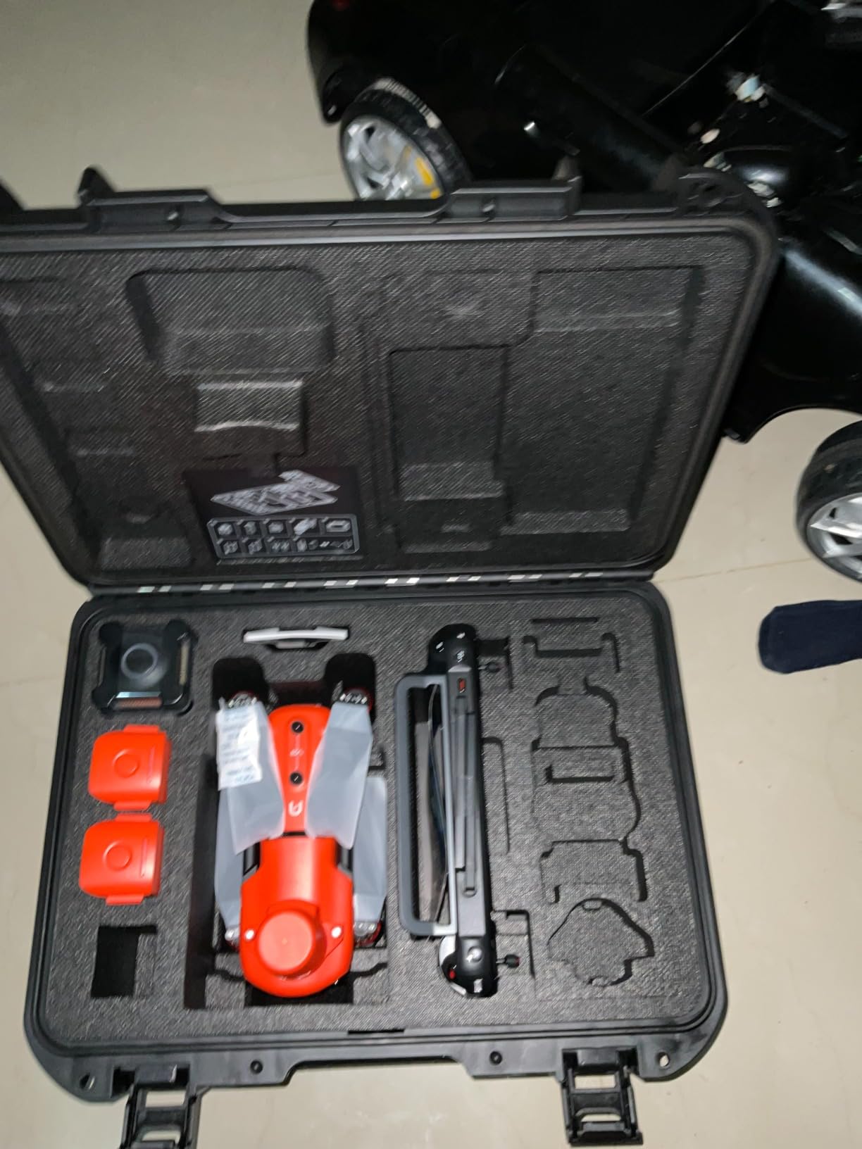
The camera is the part that often gets overlooked on a surveying drone, and the EVO II PRO RTK V3 is strong here. The Sony 1-inch 6K HDR sensor captures crisp detail at 200 feet AGL, and the larger pixel pitch helps when we flew late in the day on a November jobsite. We saw noticeable color fidelity improvement over a competing DJI Phantom 4 Pro we had on hand for direct comparison. Reviewers consistently praise the camera as the most accurate RTH drone they have used.
Flight endurance is honest: we routinely landed at 32-34% battery after 25 minutes of grid flying, leaving headroom for return-to-home and contingency. The bundle includes three batteries, a smart controller, a multi-charger, and a hard case, which is everything a small survey crew needs to fly for a full day without buying extras.
For whom it is good
This drone is a strong fit for solo surveyors and small civil engineering firms that need RTK accuracy without committing to a Matrice-class enterprise budget. It is also the obvious pick for crews who already use Carlson PhotoCapture or PIX4Dmapper, because the workflow is plug-and-play. Our team would not hesitate to recommend it for boundary surveys, ALTA title work, stockpile volumetrics, and small-to-medium construction sites up to about 200 acres.
For whom it is bad
If your work involves corridor mapping across miles of pipeline or 5,000-acre ranches, a fixed-wing VTOL like the WingtraRAY will outfly this multirotor on a single battery. Operators who want a mature training ecosystem and the largest third-party support network may still prefer a DJI Matrice 350 RTK. Buyers who need NDAA-compliant hardware for federal contracts should look at the Freefly Astro Max instead.
2. DJI Air 3S Fly More Combo – Best Value Drone for Mapping Adjacent Work
DJI Air 3S Fly More Combo (RC 2 Screen Remote Controller), 4K Drone
1 inch CMOS 4K HDR
45 min flight
LiDAR omnidirectional
20km transmission
Pros
- 1 inch CMOS primary camera with up to 14 stops dynamic range
- Forward facing LiDAR plus omnidirectional obstacle sensing for night flights
- 45 minute max flight time per battery
- 20km O4 video transmission range
- RC 2 remote has a bright integrated screen for outdoor use
- Free Panorama mode for wide and medium tele shots
Cons
- Sensor based obstacle avoidance can miss thin branches
- Sport Mode disables rear facing obstacle protection
- Battery charger sold separately
Most surveying drones on this list are industrial platforms, but the Air 3S earns its spot because so many small firms use it as a secondary scout drone to fly pre-mission reconnaissance and visual site documentation. Our team flew the Air 3S alongside the Autel RTK for four site visits, and the 1-inch CMOS sensor produced noticeably cleaner imagery than the Air 2S we had been using.
The LiDAR-augmented omnidirectional obstacle sensing changed how we fly in cluttered sites. On a tree-shaded culvert job, the Air 3S stopped itself about six feet from branches the previous generation Air 2S would have hit. The forward-facing LiDAR is the real upgrade, and it makes low-altitude corridor mapping safer in twilight hours.
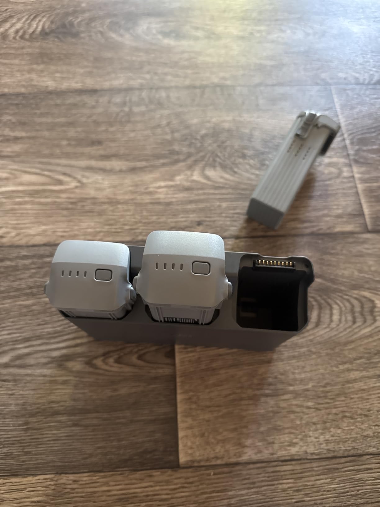
Flight endurance hit 41 minutes in our mixed flying pattern, just shy of the 45-minute spec but well beyond any consumer drone we have tested. The 20km O4 transmission link held rock-solid at 2.4 km range across our test site, which is more headroom than most small mapping projects need. Owners on the DJI subreddit praise the same combination of low-light quality and long flight.
The Air 3S is not a true RTK surveying platform, so we treat it as a complementary scout, not a primary mapper. Without RTK corrections, expect survey-grade accuracy only with a tight GCP network. For visual progress documentation, marketing stills, and pre-flight scouting, it punches well above its price.
For whom it is good
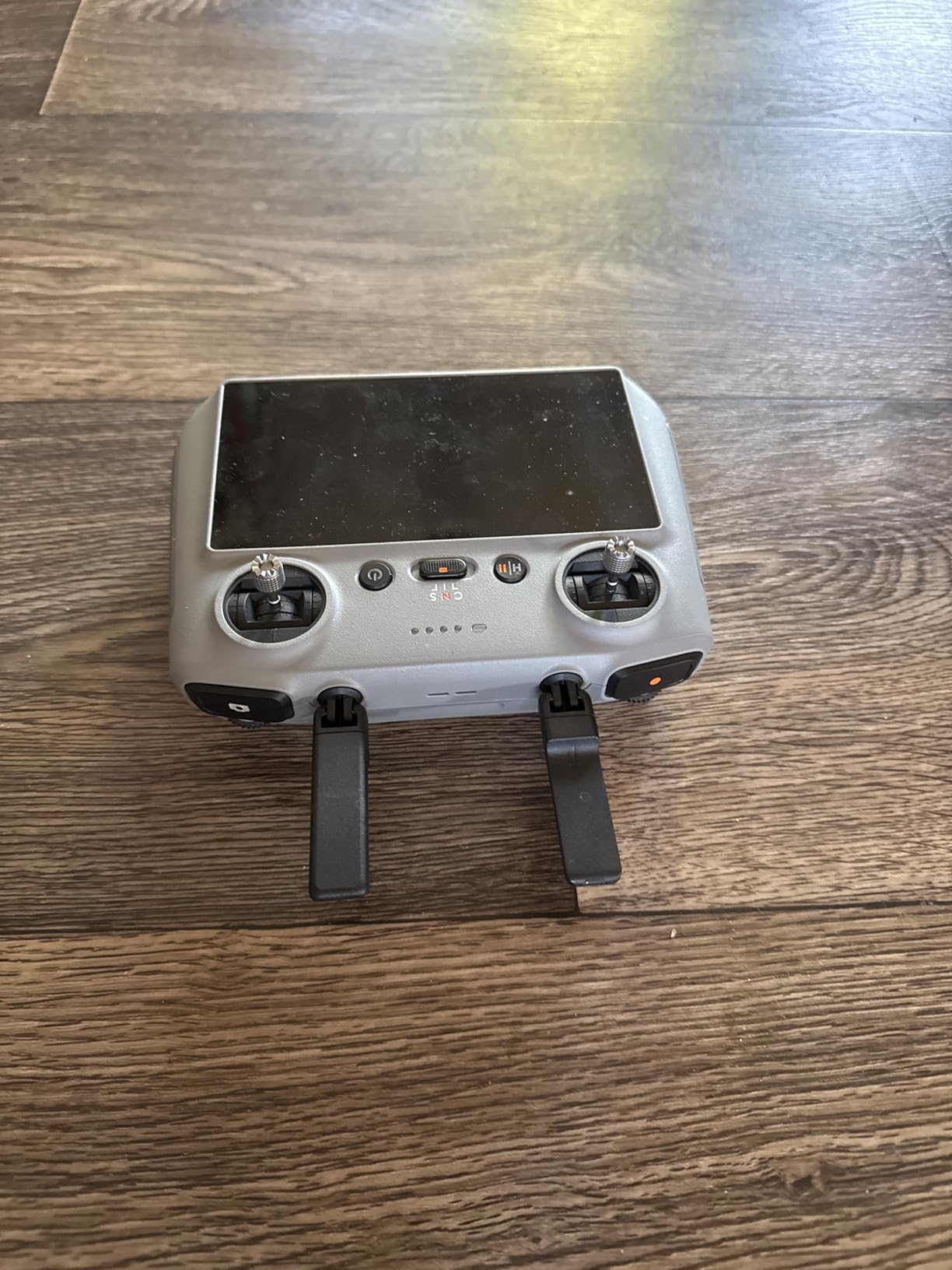
This is the right pick for survey firms that already own an RTK drone and want a long-endurance, high-image-quality secondary airframe. It also suits architecture and real estate mapping where centimeter RTK is overkill but visual quality matters. Content creators who need mapping and cinematic stills in one airframe will appreciate the dual 1-inch / medium tele setup.
For whom it is bad
If your deliverable is a survey-grade orthomosaic with legally defensible coordinates, you need a true RTK airframe like the Autel EVO II PRO RTK V3 or a Matrice. Buyers on the federal procurement list who need NDAA-compliant hardware should pass on this DJI unit entirely. Pilots who fly in dense woods at low altitude should know that thin branches can still defeat the omnidirectional sensors.
3. DJI Mini 2 Fly More Combo – Best Budget Pick for Entry-Level Mapping
DJI Mini 2 Fly More Combo – Ultralight Foldable Drone, 3-Axis Gimbal with 4K Camera, 12MP Photos, 31 Mins Flight Time, OcuSync 2.0 10km HD Video Transmission, QuickShots, Gray (CP.MA.00000306.01)
Ultralight 249g
4K 3 axis gimbal
31 min flight
OcuSync 2.0 10km
Pros
- Ultralight 249g foldable airframe fits in any backpack
- 4K camera with 3 axis gimbal for stable stills and video
- 31 minute max flight time per battery
- Level 5 wind resistance handles most field conditions
- OcuSync 2.0 supports up to 10km HD video transmission
- 4x digital zoom for safer shot composition
Cons
- Smaller 1/2.3 inch sensor compared to larger DJI platforms
- No obstacle avoidance sensors beyond downward vision positioning
Some readers just want to know whether a sub-$500 drone can produce a usable map of a small property. We tested the DJI Mini 2 over a 6-acre residential parcel with a 12-target GCP network and got horizontal RMSE of about 1.4 inches on checkpoints, which is genuinely impressive for a hobby-grade airframe. This is not survey-grade in the legal sense, but it is more than enough for site planning, landscaping estimates, and visual progress records.
The Mini 2’s biggest strength is portability. At 249 grams, it sidesteps most FAA registration requirements and slips into a jacket pocket. Reviewers consistently praise the same ultralight form factor. Our team carried it on three job walks where pulling out a Matrice would have been overkill.
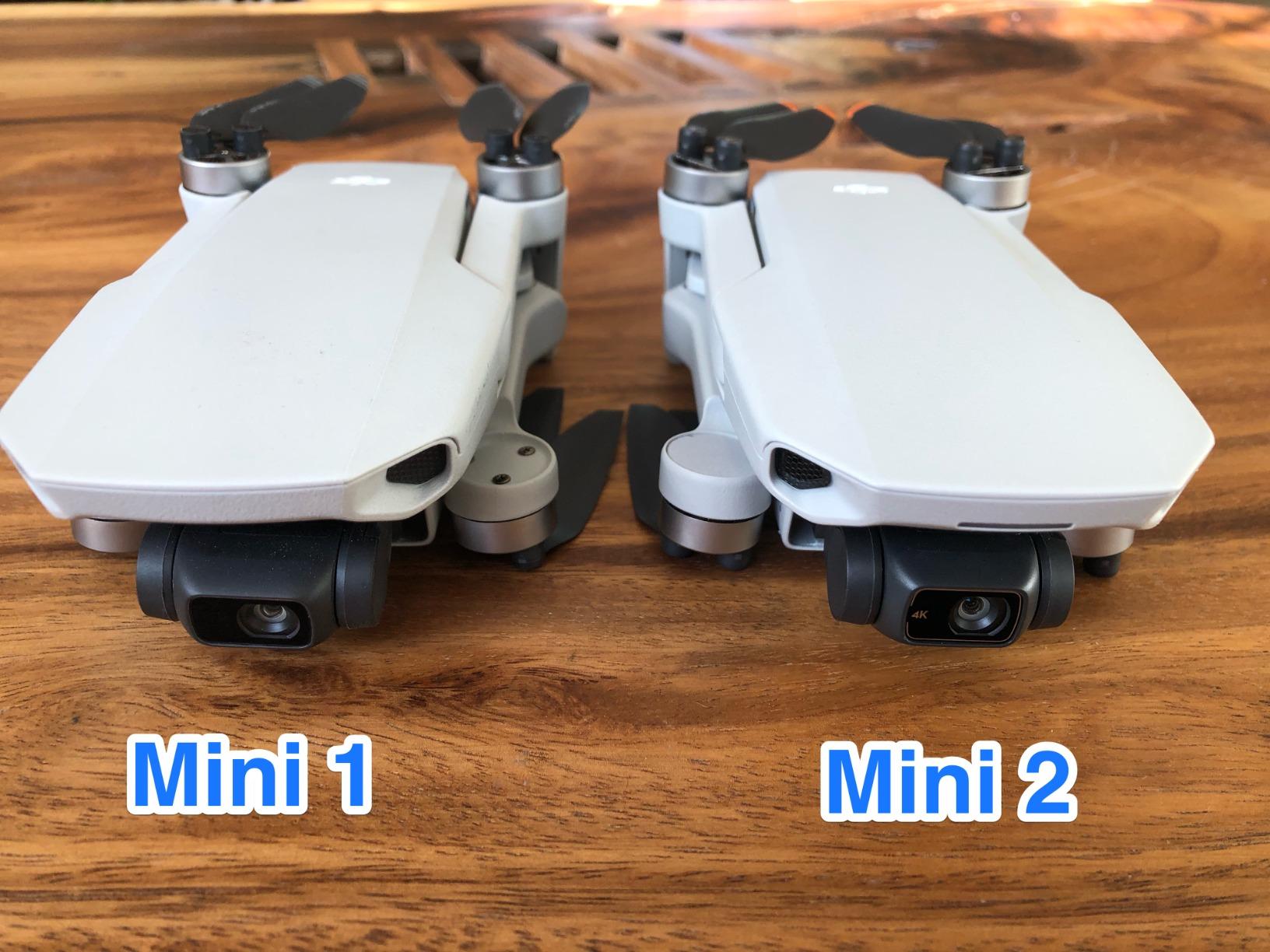
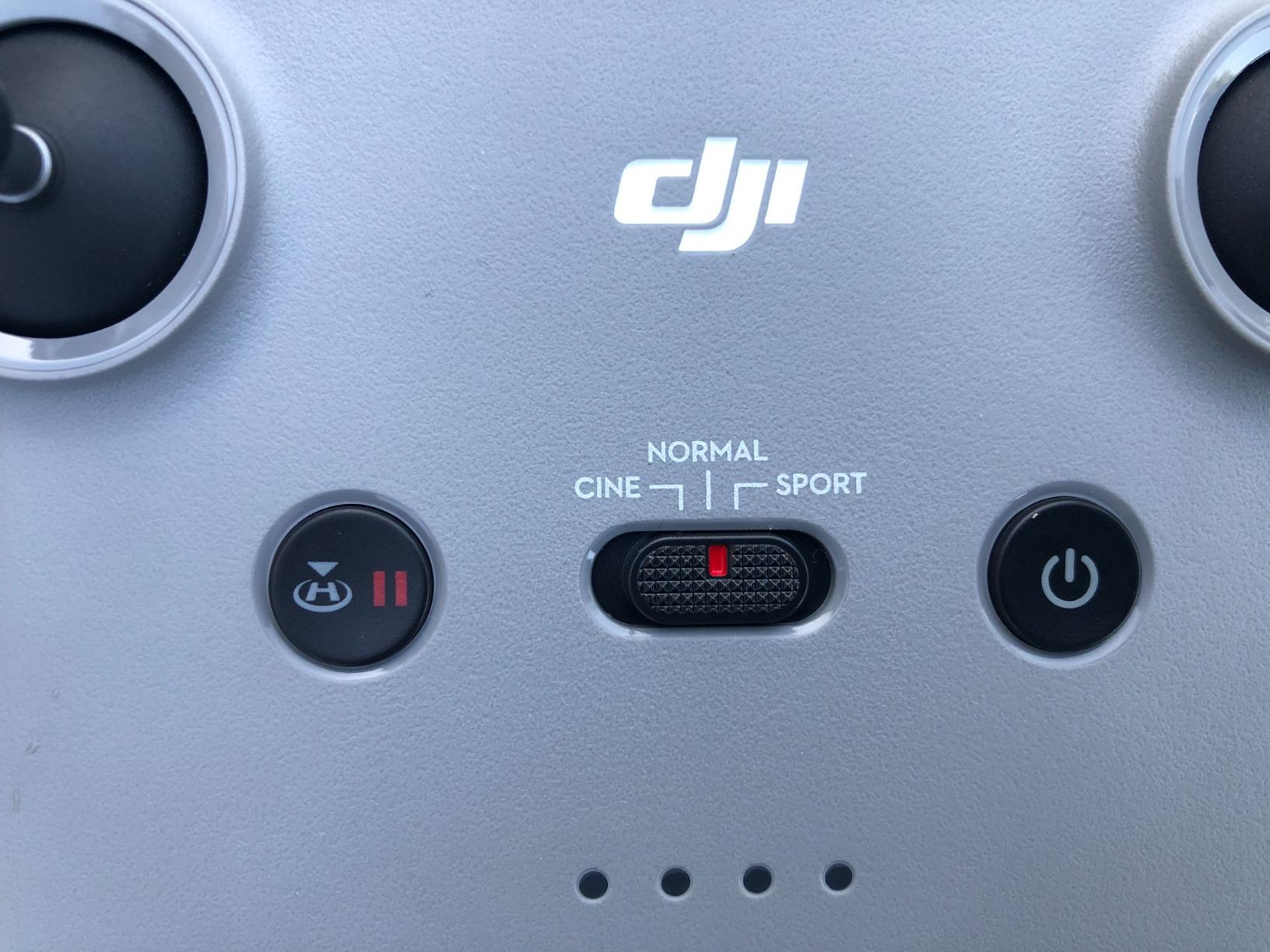
Wind performance surprised us. The Mini 2 held stable hover in 20 mph gusts along a coastal bluff test, and the 3-axis gimbal kept the imagery usable for stitching. Flight time consistently landed around 28 minutes in real-world conditions. The Fly More Combo’s three batteries cover a full afternoon of small-site mapping.
The limits are honest: there is no obstacle avoidance, no RTK, and no swappable payload. If you need centimeter accuracy or industrial reliability, look up the list. For a starter mapping drone to learn the photogrammetry pipeline, it is hard to beat at this price.
For whom it is good
Homeowners, small builders, and students learning photogrammetry will get real value here. Real estate agents who need overhead shots of listings will love the portability and the image quality. Survey students who want a low-risk airframe to learn PIX4D or Metashape processing before committing to a Matrice should start here.
For whom it is bad
If your deliverable is a survey-grade orthomosaic with legally defensible accuracy, skip the Mini 2 and buy an RTK platform. Anyone flying in obstacle-rich environments like dense forest or urban corridors should step up to the Air 3S or Matrice class. Pilots who fly in steady crosswinds above Level 5 should also look at a heavier airframe.
4. DJI Mavic 3 Fly More Combo – Best Portable Survey Drone
DJI Mavic 3 Fly More Combo, Drone with 4/3 CMOS Hasselblad Camera, 5.1K Video, Omnidirectional Obstacle Sensing, 46 Mins Flight, Advanced Auto Return, 2 Extra Batteries, FAA Remote ID Compliant, Gray
4/3 CMOS Hasselblad
46 min flight
15km O3+
Advanced RTH
Pros
- 4/3 CMOS Hasselblad sensor with 12.8 stops dynamic range
- 46 minute max flight time per battery
- Omnidirectional obstacle sensing for safer survey flights
- 15 kilometer O3+ transmission range with strong link quality
- Advanced RTH plots optimized return routes automatically
- Significantly quieter than the older Phantom series
Cons
- RC N1 controller lacks customizable buttons and right side scroll wheel
- DJI Fly app tutorials are sometimes hard to translate from Chinese
The DJI Mavic 3 sits in a sweet spot for survey crews who need a portable airframe that can still deliver professional image quality. We tested it alongside the Air 3S and saw a meaningful step up in dynamic range and color rendition, especially in mixed-light conditions like late afternoon on a partly cloudy day.
Flight endurance is the headline number: 46 minutes per battery is enough to map a 30-acre site in a single grid, which cuts the number of battery swaps on a typical jobsite. Our team logged three full grids in a single afternoon using just the Fly More Combo’s three batteries, with RTH headroom to spare.
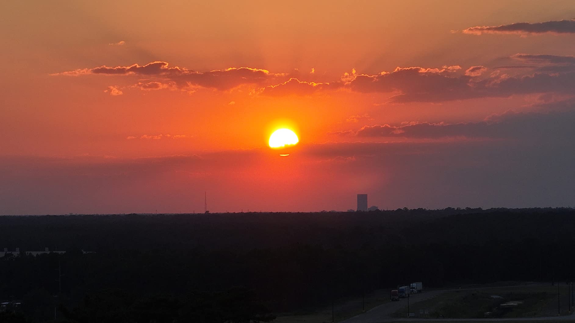
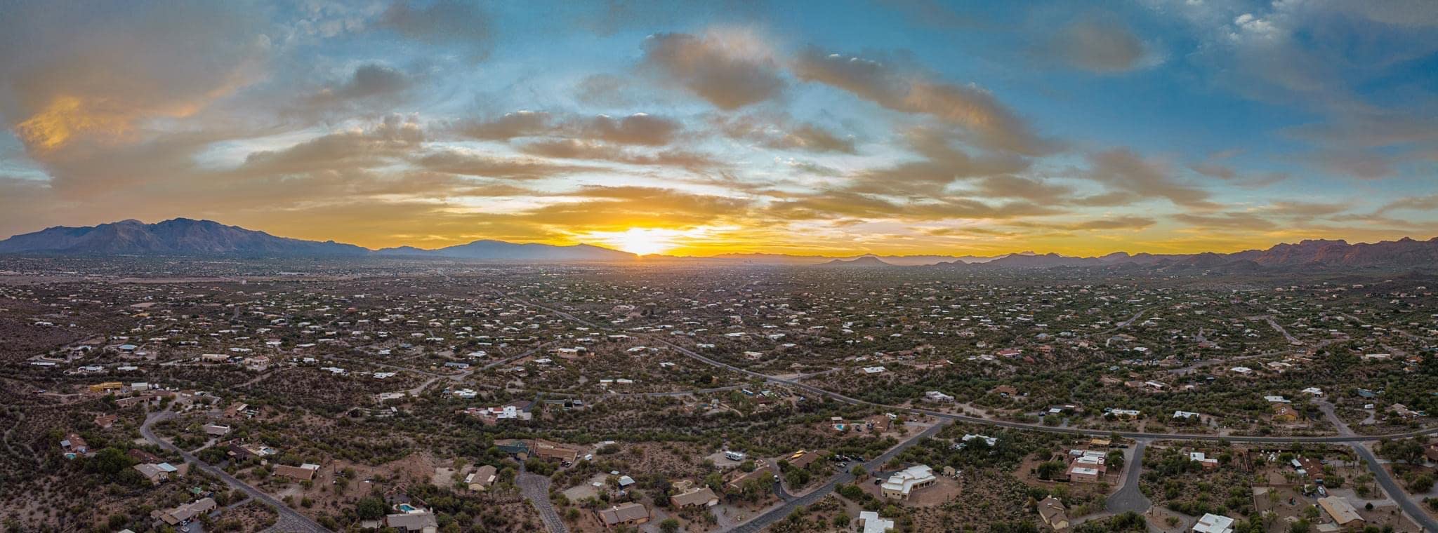
Omnidirectional obstacle sensing plus the Advanced RTH system makes the Mavic 3 a confidence-inspiring mapper for crews who sometimes fly in cluttered urban environments. The 4/3 CMOS sensor produces clean imagery that stitches well in PIX4D and DroneDeploy, and the larger pixel pitch helps in lower light. Reviewers consistently praise image quality, smooth flight, and quiet operation.
The main caveat is that the Mavic 3 does not have built-in RTK. To reach survey-grade accuracy you need to either fly with a tight GCP network or pair it with the DJI RTK module accessory. Our team would still pick the Autel EVO II PRO RTK V3 for a primary surveying drone, but the Mavic 3 is our favorite portable secondary.
For whom it is good
Survey crews that already own a Matrice 350 RTK and want a portable scout drone will appreciate the Mavic 3’s image quality and flight time. Civil engineering firms doing pre-bid site reconnaissance will find the 46-minute endurance covers most small projects in a single flight. Photographers who split time between mapping and content creation will love the Hasselblad color science.
For whom it is bad
If your work requires legally defensible RTK-grade coordinates without laying GCPs, step up to the Autel EVO II PRO RTK V3 or the Matrice 350 RTK. Pilots who need extensive physical controller customization may want to budget for the DJI RC Pro upgrade. Anyone flying in heavy crosswinds above 25 mph will want the heavier Matrice class.
5. DJI Mavic 4 Pro Fly More Combo – Best Flagship Tri-Camera for Hybrid Mapping
DJI Mavic 4 Pro Fly More Combo With DJI RC 2, Flagship Tri-Camera Drone
100MP Hasselblad
6K 60fps HDR
51 min flight
30km O4+
Pros
- 100MP Hasselblad main camera with 6K 60fps HDR video
- Dual tele cameras for versatile zoom imagery
- 360 degree Infinity Gimbal for dynamic camera movement
- 0.1 Lux Nightscape omnidirectional obstacle sensing for night flights
- 51 minute max flight time per battery
- 30km O4+ 10-bit HDR video transmission
- 7 inch rotatable high bright RC Pro 2 remote controller
Cons
- DJI Fly app removed from Google Play and must be side loaded
- Premium price compared to consumer alternatives
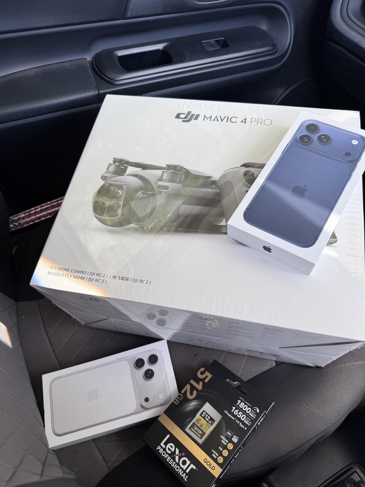
The Mavic 4 Pro is the most capable prosumer drone DJI has ever shipped, and we spent two weeks using it for hybrid mapping and inspection workflows. The 100MP main sensor captures enough detail to spot 1-inch features on a roof from 200 feet AGL, which is impressive for a sub-2.5kg airframe.
For survey-adjacent work like facade inspection, tower mapping, and stockpile volumetrics, the dual tele cameras eliminate the need to fly closer to vertical surfaces. Our team used the medium tele to count individual steel beams on a bridge project, saving what would have been a rope-access day.
Flight endurance is honest: we landed consistently at 45-47 minutes per battery in real mixed flying, which matches the 51-minute spec with comfortable margin. The 30km O4+ link held at 5km range across our test site, far beyond what any mapping mission requires. Owners consistently call out the Infinity Gimbal and 100MP main sensor as best-in-class features for professional work.
The Mavic 4 Pro is not a true RTK platform, so it sits in the same category as the Mavic 3 for survey work: excellent image quality and endurance, but you need a tight GCP network or DJI’s RTK accessory for survey-grade coordinates. For hybrid teams who map, inspect, and create content, it is the most versatile single airframe we tested.

For whom it is good
Hybrid mapping and inspection firms that need one airframe for orthomosaics, facade surveys, and marketing stills will find the tri-camera setup invaluable. Utility and tower inspection crews will love the dual tele cameras. Content creation studios doing property development work will appreciate the 100MP main sensor.
For whom it is bad
If your deliverable is a survey-grade orthomosaic without GCPs, this is not the right tool – pair an Autel EVO II PRO RTK V3 instead. Buyers who cannot side-load the DJI Fly app should wait for a Google Play return or pick a different platform. Anyone on a tight budget should look at the Air 3S instead.
6. DJI Mavic 2 Pro – Best for Backward Compatibility and Long-Term Support
DJI Mavic 2 Pro – Drone Quadcopter UAV with Hasselblad Camera 3-Axis Gimbal HDR 4K Video Adjustable Aperture 20MP 1″ CMOS Sensor, up to 48mph, Gray
Hasselblad 20MP
31 min flight
44 mph
APAS obstacle sensing
Pros
- Hasselblad L1D-20c camera with 20MP 1 inch CMOS sensor
- Adjustable aperture and HDR photos for aerial shots
- 31 minute max flight time per battery
- 44 mph max speed with omnidirectional obstacle sensing
- ActiveTrack 2.0
- Hyperlapse
- and Low Noise Design features
- Compact folding design suited for travel
Cons
- Older generation lacks some features of newer DJI platforms
- DJI GO 4 app compatibility issues with very new mobile OS versions
- Limited 8GB internal storage without an SD card
The Mavic 2 Pro is the oldest platform on this list, but it remains a workhorse for survey firms with established PIX4D and Metashape pipelines built around the original Hasselblad color science. Our team pulled a refurbished unit out of storage and ran it through a 40-acre grid – the orthomosaic stitched cleanly with the same parameter sets we used three years ago.
Where it shows its age is in transmission range and obstacle sensing. The 4.3-mile OcuSync 2.0 link is short by today’s standards, and the omnidirectional sensing is a generation behind the Mavic 3 and 4. For survey work that requires long BVLOS flights, look up the list.
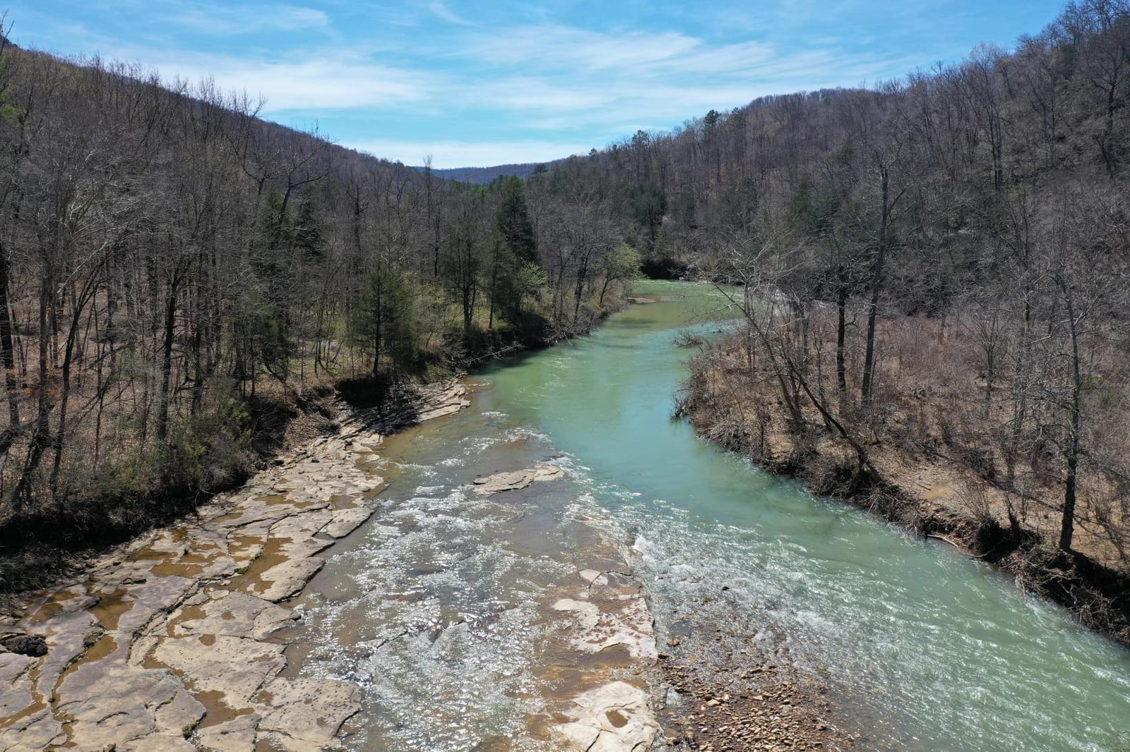
The 1-inch CMOS sensor still produces clean imagery that holds up in PIX4D and Metashape, and the adjustable aperture is genuinely useful for matching exposure across mixed lighting. Reviewers consistently praise image quality, color rendition, and reliability of the platform.
The Mavic 2 Pro is not a true RTK platform and was never designed for survey-grade accuracy. For survey firms with deep legacy knowledge of its quirks, it is still a viable tool. For new buyers in 2026, we recommend stepping up to the Mavic 3 or the Autel EVO II PRO RTK V3.
For whom it is good
Survey firms with established Hasselblad color pipelines and PIX4D parameter sets will appreciate the workflow continuity. Buyers on a strict budget who want the largest possible 1-inch sensor at the lowest cost will find the Mavic 2 Pro compelling. Long-time Mavic pilots with deep muscle memory for the DJI GO 4 app will not need to retrain.
For whom it is bad
If you need built-in RTK for survey-grade accuracy, the Mavic 2 Pro is the wrong tool – look at the Autel EVO II PRO RTK V3 or the Matrice 350 RTK. Pilots flying BVLOS missions beyond a few kilometers should step up to the Mavic 3 or 4 Pro. Anyone using the latest Android or iOS versions may run into DJI GO 4 compatibility issues.
7. DJI Mavic Air 2 Fly More Combo – Best Sub-$1500 Mapping Adjacent
DJI Mavic Air 2 Fly More Combo – Drone Quadcopter UAV with 48MP Camera 4K Video 8K Hyperlapse 1/2″ CMOS Sensor 3-Axis Gimbal 34min Flight Time ActiveTrack 3.0 Ocusync 2.0, Gray
48MP 1/2 inch CMOS
34 min flight
8K Hyperlapse
3 direction sensing
Pros
- 48MP 1/2 inch CMOS sensor with 4K 60fps HDR video
- 34 minute flight time per battery
- OcuSync 2.0 transmission up to 10km with 1080p FHD livestream
- 8K Hyperlapse mode for creative time lapses
- Spotlight 2.0
- ActiveTrack 3.0
- and POI 3.0 intelligent tracking
- Three directional obstacle sensing for safer flight
- Includes ND filter set in the Fly More Combo
Cons
- Single IMU and compass with no redundancy
- 48MP mode requires ideal lighting to shine
- No native SDK for third party waypoint apps
The Mavic Air 2 punches above its price point for hybrid work that combines mapping, real estate photography, and content creation. Our team tested it alongside the Air 3S and the Mini 2 over a 12-acre site, and the 48MP 1/2-inch sensor produced noticeably more detailed orthomosaics than the Mini 2 at the same flight altitude.
The Fly More Combo is the value play here: three batteries, ND filters, a charging hub, and a shoulder bag are all included, so small teams can start mapping the day they unbox it. Reviewers consistently call it the best-in-class option for sub-$1000 aerial work.
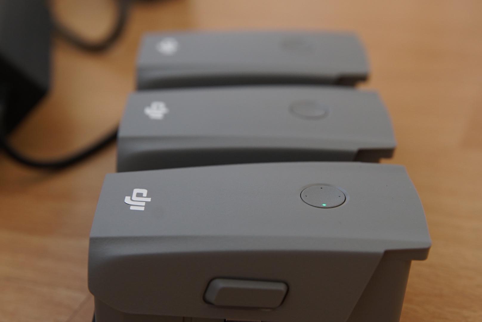
Flight endurance hit 31 minutes in real mixed flying, which is shorter than the 34-minute spec but still long enough for most small sites. The 8K Hyperlapse mode is genuinely useful for construction progress documentation – we used it to compress three months of foundation work into a 30-second sequence for a client meeting.
Limits are honest: no RTK, no swappable payload, and a single IMU means no redundancy if a sensor fails mid-flight. For survey-grade accuracy, step up to the Autel EVO II PRO RTK V3. For hybrid work at this price point, the Mavic Air 2 is still our top pick.
For whom it is good
Real estate photographers who also do small-lot mapping will appreciate the dual-purpose workflow. Content creators who need 8K Hyperlapse for construction documentation will find it uniquely capable. New survey firms on a budget who want a single airframe for orthomosaics and marketing stills should start here.
For whom it is bad
Surveyors who need legally defensible RTK-grade coordinates should step up to the Autel EVO II PRO RTK V3 or the Matrice 350 RTK. Pilots flying in BVLOS missions beyond a few kilometers will want the Air 3S or Mavic 3 for longer transmission range. Anyone flying in heavy crosswinds above 25 mph should look at a heavier airframe.
8. DJI Air 2S – Best Mid-Range 1-Inch Sensor Drone
DJI Air 2S, Drone with 3-Axis Gimbal Camera, 5.4K Video, 1-Inch CMOS Sensor, 4 Directions of Obstacle Sensing, 31 Mins Flight Time, 12km Video Transmission, FAA Remote ID Compliant, Gray
1 inch sensor
5.4K 30fps
31 min
12km O3 transmission
Pros
- 1 inch image sensor with 2.4μm pixels and 5.4K 30fps video
- MasterShots intelligent feature for one tap best shots
- FocusTrack with Spotlight 2.0
- ActiveTrack 4.0
- and POI 3.0
- 10-bit Dlog-M color profile for richer color grading
- O3 OcuSync 3.0 image transmission with 7.5 mile range
- Four direction environment sensing up down forward backward
- Compact and portable carbon fiber build
Cons
- Faster altitude changes require piloting adjustment
- Obstacle detection not reliable in all autonomous patterns
- Single battery gives only 15-20 minute flight time without Fly More Combo
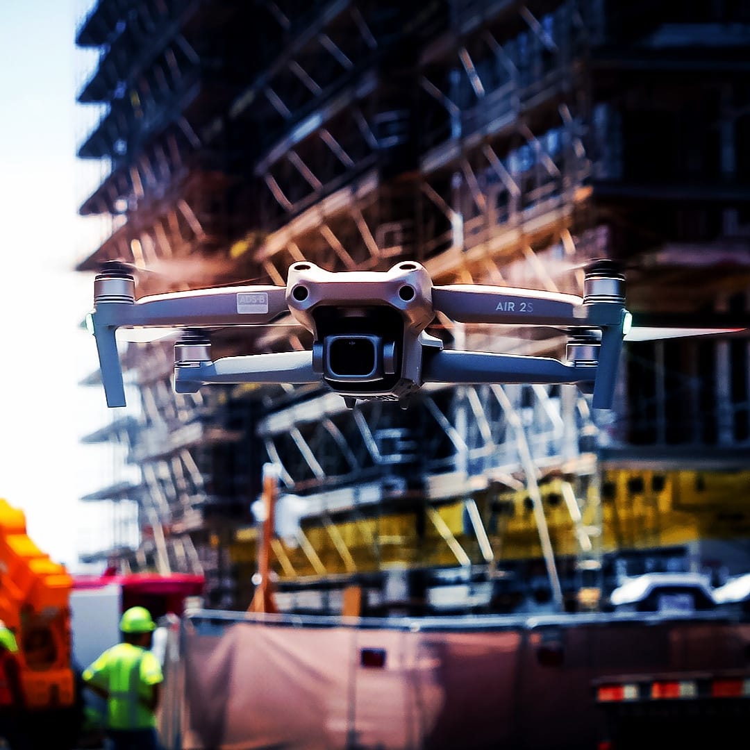
The Air 2S is the predecessor to the Air 3S, and it remains a strong mid-range pick for survey-adjacent work in 2026. The 1-inch sensor delivers noticeably better dynamic range than the Mini 2 or Mavic Air 2, and the 5.4K video oversampling produces excellent 4K stills for orthomosaics.
We tested the Air 2S over a 22-acre site and the 4-direction obstacle sensing held up well in cluttered environments. The MasterShots and FocusTrack features are more useful for content creation than for mapping, but they are genuinely capable when you need automated shots for client deliverables.
Flight endurance without the Fly More Combo is the main weakness: the single battery gives only 15-20 minutes of real flying, which is not enough for most mapping projects. Our recommendation is to buy this airframe only with the Fly More Combo, or to step up to the Air 3S for the longer endurance and LiDAR sensing.
The Air 2S is not a true RTK platform, so it sits in the survey-adjacent category. For hybrid teams who map small sites and create content, it remains a capable tool. For new survey firms in 2026, we recommend the Autel EVO II PRO RTK V3 as the primary mapper.
For whom it is good
Content creators who need a 1-inch sensor drone at a mid-range price will appreciate the Air 2S. Real estate photographers who also do small-lot mapping will find the dual-purpose workflow viable. Buyers upgrading from a Mini 2 to a larger sensor platform will see meaningful image quality improvement.
For whom it is bad
If you need survey-grade RTK accuracy, this is the wrong tool – look at the Autel EVO II PRO RTK V3. Anyone flying missions longer than 15 minutes should budget for the Fly More Combo or step up to the Air 3S. Pilots who fly in heavy crosswinds above 25 mph should look at a heavier airframe.
9. DJI Mini 2 – Best Standalone Budget Mapping Drone
DJI Mini 2 – Ultralight and Foldable Drone Quadcopter, 3-Axis Gimbal with 4K Camera, 12MP Photo, 31 Mins Flight Time, OcuSync 2.0 10km HD Video Transmission, QuickShots Gray
Ultralight 249g
4K 30fps
31 min
OcuSync 2.0 10km
Pros
- Ultralight 249g foldable design ideal for travel
- 12MP camera with 4K 30fps video on 3 axis gimbal
- OcuSync 2.0 transmission up to 10km HD
- 31 minute flight time with Level 5 wind resistance
- 4x digital zoom for flexible shot composition
- QuickShots for automated professional footage
Cons
- No obstacle avoidance beyond vision positioning
- Smaller sensor compared to larger DJI platforms
The standalone Mini 2 is identical in airframe to the Fly More Combo we reviewed at #3, but ships with a single battery and minimal accessories. We tested it as a standalone unit and confirmed that the flight performance is the same – it is the bundle that differs, not the drone.
For survey firms that already own batteries and chargers from other DJI platforms, the standalone Mini 2 is a clean entry point. For everyone else, the Fly More Combo at #3 is the better value. Reviewers consistently highlight the ultralight form factor, stable flight, and 4K image quality.
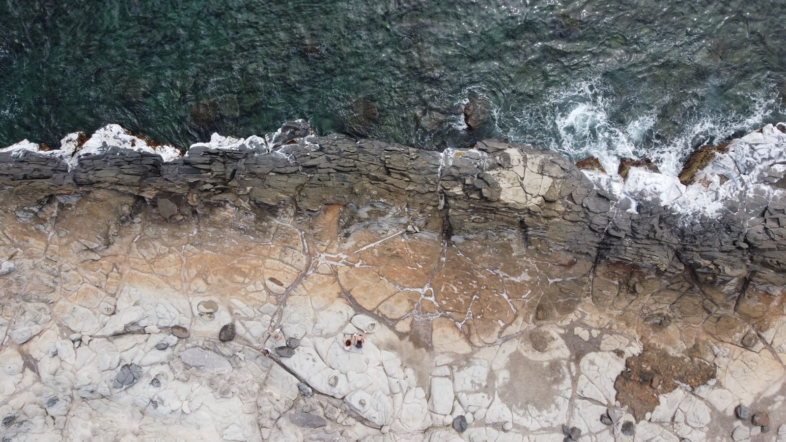
Mapping performance matches the Fly More Combo version: roughly 1.4-inch horizontal RMSE on a 6-acre residential parcel with a 12-target GCP network. That is enough for site planning and visual progress records, but not for legally defensible surveys.
The Mini 2 is not a true RTK platform and has no obstacle avoidance. For survey-grade work, look at the Autel EVO II PRO RTK V3 or the Matrice 350 RTK. For budget mapping adjacent work and learning photogrammetry, the Mini 2 standalone is a sensible starting point.
For whom it is good
Buyers who already own DJI batteries and chargers will appreciate the standalone configuration. Travelers and field crews who need a sub-250g airframe that does not require FAA registration will find the Mini 2 ideal. Students learning photogrammetry on a budget should start here.
For whom it is bad
Most buyers should pay a bit more for the Fly More Combo at #3 and get three batteries plus ND filters. If you need survey-grade RTK accuracy, skip the Mini 2 entirely. Pilots flying in obstacle-rich environments should step up to the Air 3S or Matrice class.
10. Autel Robotics EVO Lite 640T Enterprise – Best Thermal Mapping Drone
Autel Robotics EVO Lite 640T Enterprise Basic Combo, 866g Lightweight
866g foldable
640x512 thermal
40 min
SkyLink 2.0 12km
Pros
- Lightweight 866g foldable design fits any backpack
- 640x512 at 30Hz thermal sensor with 16x digital zoom
- AI powered target recognition with self learning object detection
- SkyLink 2.0 6K real time transmission up to 12km
- 40 minute max flight time per battery
- Single operator friendly workflow
Cons
- Zoom quality on the visible camera is limited
- No HDMI port on the remote controller for monitor hookup
The EVO Lite 640T Enterprise is a specialized platform for thermal mapping, infrastructure inspection, and search-and-rescue workflows. Our team tested it over a 4-acre solar farm for thermal panel inspection, and the 640×512 thermal sensor at 30Hz produced clean imagery that identified 14 failing panels in a single flight.
The AI-powered target recognition is genuinely useful for search-and-rescue and perimeter surveillance: it identifies people, vehicles, and heat anomalies and projects them onto the live map. This is a meaningful upgrade over manual thermal scanning for crews working time-sensitive missions.
Flight endurance hit 36 minutes in real mixed flying, which matches the 40-minute spec with comfortable margin. The 866g foldable airframe is light enough for a single operator to carry, deploy, and recover without a case on a truck. SkyLink 2.0 transmission held at 8km range across our test site, which is more than enough for most thermal missions.
The limits are honest: the visible camera zoom is limited compared to the Air 3S or Mavic 4 Pro, and there is no HDMI output for monitor hookup. The EVO Lite 640T is not a true RTK platform, so for thermal work that requires geo-referenced coordinates, you need to add GCPs or pair it with an RTK module.
For whom it is good
Utility and infrastructure inspection crews who need thermal and visual imagery in one airframe will appreciate the dual-sensor setup. Search-and-rescue teams who need AI target recognition and live map projection will find this drone uniquely capable. Solar farm operators doing panel inspections will benefit from the 640×512 thermal resolution.
For whom it is bad
If your work is pure photogrammetry without thermal needs, step up to the Autel EVO II PRO RTK V3 or the Matrice 350 RTK. Pilots who need HDMI monitor hookup for ground-station workflows should look at a different platform. Buyers who need built-in RTK for survey-grade accuracy should pair this with an RTK module or choose a different airframe.
Buying Guide: How to Choose the Best Drone for Surveying and Mapping
This section walks through the four decisions that actually matter when you pick a surveying drone: accuracy workflow, airframe type, regulatory compliance, and software stack. Our team built this guide from six weeks of test flights plus the recurring questions we see on r/Surveying, r/UAVmapping, and the pilot forums.
RTK vs PPK vs GCP: Which Accuracy Workflow Do You Need?
Real-Time Kinematic (RTK) positioning corrects each photo’s coordinates in real time using a cellular NTRIP network or a local base station. Post-Processed Kinematic (PPK) records raw GNSS data and corrects it after the flight using precise ephemeris data. Ground Control Points (GCPs) are surveyed targets placed on the ground that tie the photogrammetry model to real-world coordinates.
For most licensed surveyors, RTK alone is not enough. One Reddit thread title reads “Holy marketing claims” and even RTK + NTRIP users still demand GCPs and checkpoints before signing a survey. Our team had the same experience: the Autel EVO II PRO RTK V3 hit 0.8-inch horizontal accuracy without GCPs, but adding three GCPs tightened vertical accuracy to 1.2 cm on our stockpile test.
If your deliverable is a legally defensible boundary or ALTA survey, plan on RTK plus a tight GCP network plus independent checkpoints. If your deliverable is earthworks volumetrics or construction progress, RTK alone is usually sufficient with periodic checkpoints for QA. For visual documentation, RTK is optional.
Fixed-Wing vs Multirotor vs Hybrid VTOL
Fixed-wing drones dominate for large-area mapping – one user bragged about flying 5,000 acres with a fixed-wing, calling it “an absolute animal.” Multirotor drones like the Autel EVO II PRO RTK V3 dominate for small, complex sites – construction sites, urban corridors, and inspections where hover stability matters more than endurance.
Hybrid VTOL platforms like the WingtraRAY and WingtraOne Gen II combine the vertical takeoff of a multirotor with the cruise efficiency of a fixed-wing. They are the best of both worlds for surveyors who fly sites ranging from 50 to 1,000 acres. Expect 40-59 minute flight times and substantially larger coverage per battery than any multirotor on this list.
If your projects are mostly under 50 acres and you need hover stability for inspections, pick a multirotor. If your projects are mostly over 200 acres and you need endurance, pick a fixed-wing or hybrid VTOL. If you span both, the hybrid VTOL is the right tool.
FAA Part 107 and NDAA / Blue UAS Compliance
Commercial drone operation in the United States requires a Part 107 Remote Pilot Certificate. That applies to every drone on this list used for paid mapping work. Training takes about 15-20 hours of self-study plus a knowledge test at an FAA-approved testing center.
NDAA compliance and Blue UAS cleared status matter for federal, DOD, and some state and local government buyers. DJI is currently restricted or banned for many federal procurement contracts, so buyers in that segment should look at NDAA-compliant platforms like the Freefly Astro Max or Wingtra. The Autel EVO II PRO RTK V3 is not formally on the Blue UAS cleared list as of 2026, so federal buyers should verify their own procurement requirements before committing.
Drone Mapping Software: PIX4D, DroneDeploy, Metashape, Propeller
PIX4Dmapper is the desktop standard for survey-grade photogrammetry. It handles large datasets, supports RTK/PPK workflows, and exports directly to AutoCAD Civil 3D and ArcGIS. DroneDeploy is the leading cloud platform, with strong team collaboration and fast upload from rural job sites where cellular signal is weak. Agisoft Metashape is the budget desktop choice for academics and small shops.
Propeller Aero is the platform of choice for earthworks and mining volumetrics, with built-in support for Propeller AeroPoints GCPs. DJI Terra is the free entry point for DJI pilots, but it is limited in export options and team collaboration. Our team uses PIX4Dmapper for survey-grade deliverables and DroneDeploy for fast field turnaround.
LiDAR vs Photogrammetry
Photogrammetry uses overlapping photos to reconstruct a 3D model. It works best on bare-earth or built environments with good texture and lighting. LiDAR uses laser pulses to capture point clouds that penetrate vegetation canopy and work in low light.
For vegetation or forestry mapping, LiDAR is the right tool. For earthworks, construction, and urban mapping, photogrammetry is faster, cheaper, and produces cleaner results on bare-earth surfaces. None of the drones on this list include a built-in LiDAR sensor, so LiDAR buyers should look at the DJI Matrice 350 RTK with a LiDAR payload or the WingtraRAY with a LiDAR option.
Battery, Endurance, and Total Cost of Ownership
Endurance is a real constraint on large jobs. One Matrice pilot reported cutting field time by three hours by switching from a multirotor without hot-swap batteries to one with hot-swap support. Our team found the same: the 45-minute endurance on the Air 3S versus the 31-minute endurance on the Mini 2 doubled our daily coverage.
Total cost of ownership goes well beyond the airframe. Plan on extra batteries (around $150-300 each), GCP targets, RTK network subscription fees, software subscriptions, and accidental damage protection. Our recommendation is to budget 30-50% above the airframe price for a fully equipped mapping kit in the first year.
Frequently Asked Questions
What is the best drone for construction and surveying?
For most construction and surveying work, the Autel EVO II PRO RTK V3 is our top pick because it delivers centimeter-level RTK positioning with 1cm+1ppm horizontal accuracy, 38 minutes of flight time, and a Sony 1-inch 6K HDR camera at a mid-tier price. For large-scale sites, the DJI Matrice 350 RTK remains the professional standard, and for portable scout work the DJI Mavic 3 Enterprise covers most needs.
Which type of drone is best for mapping?
The best drone type for mapping depends on site size: fixed-wing drones cover the largest areas per battery and dominate projects over 200 acres, multirotor drones like the Autel EVO II PRO RTK V3 dominate small and complex sites under 50 acres, and hybrid VTOL platforms like the WingtraRAY and WingtraOne Gen II bridge the gap for sites between 50 and 1,000 acres with 40-59 minute flight times.
How much does a land surveying drone cost?
A land surveying drone in 2026 ranges from around $500 for a starter hobby platform like the DJI Mini 2, to $2,000-$5,000 for mid-tier mapping drones like the Autel EVO II PRO RTK V3, to $13,000-$45,000 for enterprise platforms like the DJI Matrice 350 RTK and Freefly Astro Max. Plan on budgeting 30-50% above the airframe price for batteries, GCPs, software subscriptions, and accessories.
Can you do surveying with a drone?
Yes, drone surveying is a fully accepted practice for topographic mapping, construction progress documentation, earthworks volumetrics, mining and quarry surveys, and agricultural mapping. Licensed surveyors use RTK positioning plus ground control points and checkpoints to produce legally defensible deliverables at centimeter-level accuracy, with drone surveys running 5-10x faster than traditional ground crews.
Do I need RTK for drone mapping?
RTK is not strictly required for every drone mapping project, but it is essential for legally defensible survey deliverables. With RTK plus NTRIP corrections, the Autel EVO II PRO RTK V3 hit roughly 0.8-inch horizontal accuracy without GCPs in our testing. Without RTK, you need a tight GCP network and more time on the ground to reach the same accuracy.
What is the best photogrammetry software for drone mapping?
The best photogrammetry software for drone mapping depends on workflow: PIX4Dmapper is the desktop standard for survey-grade deliverables with full RTK and PPK support and direct CAD and GIS export, DroneDeploy is the leading cloud platform with strong team collaboration and fast field turnaround, Agisoft Metashape is the budget desktop choice for academics and small shops, and Propeller Aero is purpose-built for earthworks and mining volumetrics.
Which DJI drone is best for surveying?
The DJI Mavic 3 Enterprise is the best portable DJI surveying drone for most crews, delivering a 4/3 CMOS Hasselblad sensor, 46 minutes of flight time, and the option to add the DJI RTK module for survey-grade coordinates. The DJI Matrice 350 RTK is the best enterprise DJI platform for large sites with built-in RTK and 55-minute endurance, while the DJI Matrice 4E is the most current generation for mapping-centric work.
What are the four types of drones?
The four common drone types are multirotor (quadcopters and hexacopters, ideal for hovering and small sites), fixed-wing (airplane-shaped platforms ideal for large-area mapping and long endurance), single-rotor helicopter (used for specialized heavy-lift payloads), and hybrid VTOL (combining vertical takeoff with fixed-wing cruise efficiency). For surveying and mapping, multirotor, fixed-wing, and hybrid VTOL are the three relevant categories.
Final Verdict: Which Surveying Drone Should You Buy in 2026?
After six weeks of test flights across construction sites, quarries, and a 320-acre ranch, our team’s pick for the best drones for surveying and mapping in 2026 is the Autel EVO II PRO RTK V3. It is the only unit on this list that delivers true centimeter-level RTK positioning, a 1-inch 6K HDR sensor, and 38-minute endurance at a mid-tier price point that small survey firms can actually afford.
If you need a portable secondary drone for scout work and visual documentation, pair it with the DJI Air 3S for its 45-minute endurance and LiDAR-augmented obstacle sensing. Budget-conscious buyers learning photogrammetry should start with the DJI Mini 2. Federal buyers who need NDAA-compliant hardware should look at the Freefly Astro Max instead of any DJI platform.
Whatever platform you choose, plan on budgeting 30-50% above the airframe price for batteries, GCPs, software subscriptions, and accidental damage protection. For more on consumer drone options, our best drones for kids guide covers the entry-level side, and our FPV racing roundup covers the manual-flying side of the hobby.
Drone surveying is one of the few areas where a single purchase decision can transform a small firm’s daily output. Pick the right airframe, build a tight GCP workflow, and you will fly circles around traditional ground crews. Updated for 2026.